The inventory didn’t involve getting out and driving over every mile of road – there simply wasn’t time for that. Instead, the effort to catalog the roads used computer mapping technology to consolidate previously mapped roads into a single, comprehensive database.
“We’ve been collecting information on roads for a very long time,” Whitcomb said. “What we did here was flip them into a new platform online.”
An interactive map and printable maps were provided online, which were used to solicit public comment on the road inventory and issues connected with opening or closing certain roads to ORVs.
Various roads or road segments were proposed to be opened or closed to ORV use. Members of the public could drop a pin on one of the maps to mark an area and express their concern about it. They also could comment by email or mail.
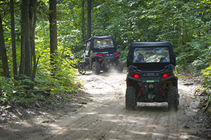
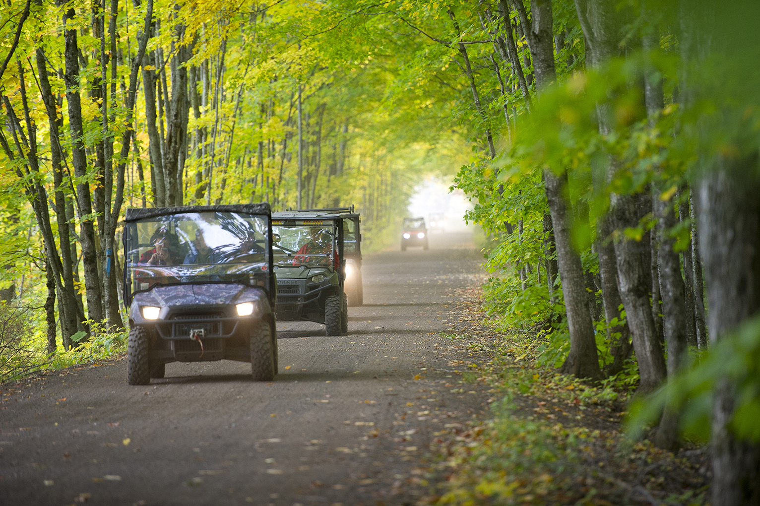
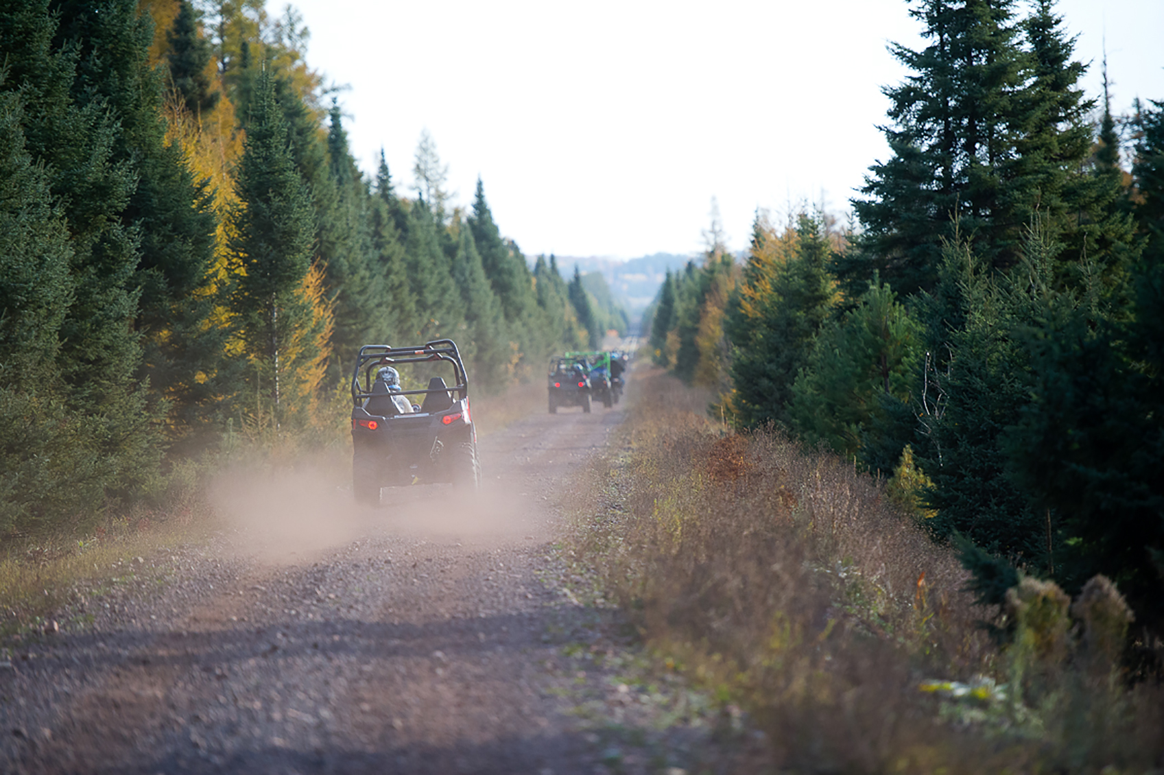
Thousands of miles of state forest roads are now open to ORV use.
A total of 84 people commented on nearly 5,600 miles of forest roads in the Upper Peninsula. There, 5,582.06 miles (99.1 percent) of roads are open year-round; 50.28 miles (0.89 percent) of roads are closed year-round and 0.48 miles (0.01 percent) of roads are closed seasonally.
There were 77 comments regarding nearly 370 miles of forest roads in the southern Lower Peninsula. In that region, 8.95 miles (2.43 percent) of roads are open year-round; 285.92 miles (77.67 percent) of roads are closed year-round and 73.25 miles (19.9 percent) of roads are closed seasonally.
There are more than 7,500 miles of state forest roads in the northern Lower Peninsula, with 6,308.6 miles (84 percent) of roads open to ORV use, while 1,213.6 (16 percent) miles of road were closed by a land use order of the DNR director. More than 2,000 members of the public weighed in on that decision.
“We had hundreds of pin drops with people telling us everything from, ‘This is a great idea, I can’t wait’ to ‘You guys are crazy, this is going to cause problems,’” Whitcomb said.
DNR road evaluations considered user conflicts, the condition of the road and a review of current land use orders. An example is the Pigeon River Country State Forest. It’s home to Michigan’s elk herd and focuses on quiet recreation.
“There’s a lot of public land where ORVs are the best use,” Whitcomb said. “The Pigeon River management plan differs from other state forests in that it emphasizes quiet recreation and scenic values.”
A few other northern Lower Peninsula areas that are focused on quiet recreation also are closed to ORVs. Those include Jordan Valley, the Mason and Deward tracts and the Sand Lakes quiet area.
The maps are a work in progress and will be updated annually as DNR staff in the field monitor road conditions or find mapping errors. There are some proposed changes currently under consideration for the northern Lower Peninsula, with a decision pending by the DNR director at a meeting of the Michigan Natural Resources Commission.
Roads that are currently open could be closed to ORVs or other vehicles in the future if erosion threatens the forest or fish habitat in nearby waters, for example.
“Getting our forest roads into an inventory system on the map gives us a baseline that we can begin working with to manage the forest better,” Whitcomb said.
Comments from the public will be evaluated each year. Several criteria will be used to make evaluations, and recommendations will be reviewed by DNR staff members and the public before the DNR director makes decisions.
The goal is to have forest roads that are safe and provide access to various users, while ensuring that forests and waterways aren’t negatively impacted.
Take a look at the road maps and learn more about Public Act 288 at michigan.gov/forestroads.
|

