Four Mile Run flood channel dredging will take place in lower Four Mile Run in Fall, 2022, to preserve the flood channel’s capacity and reduce flood risk in neighborhoods surrounding Lower Long Branch and South Four Mile Run.
Dumbarton St. culvert replacement project is in engineering design.
Drainage improvement projects were completed or are underway on N. Lynnbrook St., N. 26th St. and N. Randolph St.
Planning and Development
Increased stormwater requirements for Single-Family Homes (LDA 2.0) – As of September, 2021, the County has expanded requirements for stormwater detention for single-family property development, and created optional engineering templates for use by developers.
The Risk Assessment and Management Plan (RAMP) is on schedule to be completed in 2022. This plan includes updated climate projections, mapping of critical assets and facilities, and modeling of current and future flood patterns (with factors for climate change). It also includes vulnerability and risk assessments.
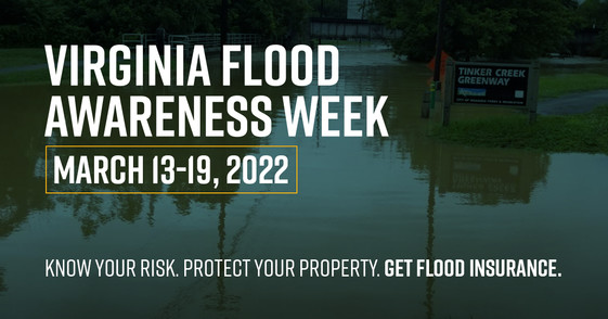
FEMA Floodplain Map Update - The County’s Floodplain Administrator continues intensive work with FEMA to ensure the floodplain maps are updated in an equitable and technically-accurate manner. FEMA has updated the risk rating methodology for flood insurance rates to better reflect a property’s flood risk.
Work is beginning on a Flood Resilient Design and Construction Manual for Arlington County.
Funding
The County has completed a feasibility study for establishing a Stormwater Utility and will be starting public engagement phase for the utility in 2022.
Increased stormwater investment in FY22-FY24 CIP.
Increased grant funding may be available from the State.