|
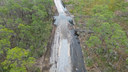
Aerial view of low water crossing after construction Credit: NOAA
The U.S. Department of Commerce (DOC), through the National Oceanic and Atmospheric Administration (NOAA) Restoration Center, has been awarded $1.24 million RESTORE Act Council-Selected Restoration Component funds to support the Money Bayou Wetlands Restoration Project. This project is a key part of NOAA's Connecting Coastal Waters (CCW) initiative, which partners with local organizations to restore the extent, functionality, and resilience of Gulf Coast wetlands.
The Money Bayou basin spans over 1,800 acres of estuarine and freshwater marsh, interspersed with forested wetlands. It drains directly into the Gulf of America, situated between Cape San Blas and St. Vincent Island. Although the Money Bayou basin is now protected within the St. Joseph Bay State Buffer Preserve, it has been significantly altered by human activities, including extensive ditching, road construction, and fire plow lines. These modifications have disrupted the area's natural hydrology, leading to wetland degradation, loss of aquatic communities, and the spread of invasive plant species.
 The new low water crossings provide stabilized access for official vehicles while allowing surface water to flow according to natural drainage patterns. Credit: NOAA
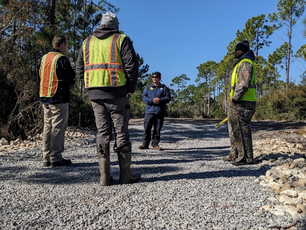 Dylan Shoemaker, Buffer Preserve Manager, discusses the project with the construction team Credit: NOAA
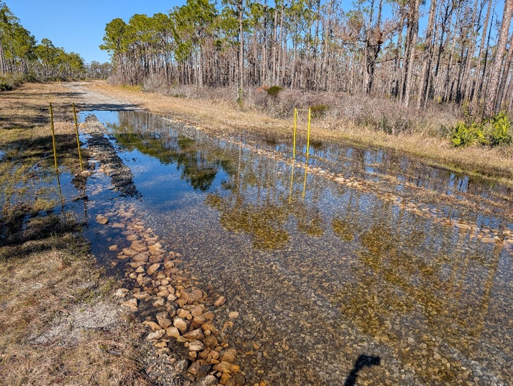
NOAA, in collaboration with its partners, constructed 3,000 linear feet of low water crossings at 13 priority locations to restore the natural hydrology of approximately 1,000 acres of wetlands within the St. Joseph Bay State Buffer Preserve. The restoration efforts focused on reestablishing natural sheet-flow and improving the hydrologic connectivity of these wetlands. Additionally, NOAA partnered with stakeholders to monitor restoration progress, share successful restoration practices, and engage local communities through outreach initiatives. Post-construction monitoring indicates the project is functioning as designed one year after installation, allowing land managers to access various parts of the preserve throughout the year while facilitating natural hydrologic processes.
|