Four new online tools are now available for the public, providing easier access to NGS data
After extensive testing though our Beta site, NGS is making the following four online tools available to the public as official products offered on the geodesy.noaa.gov website:
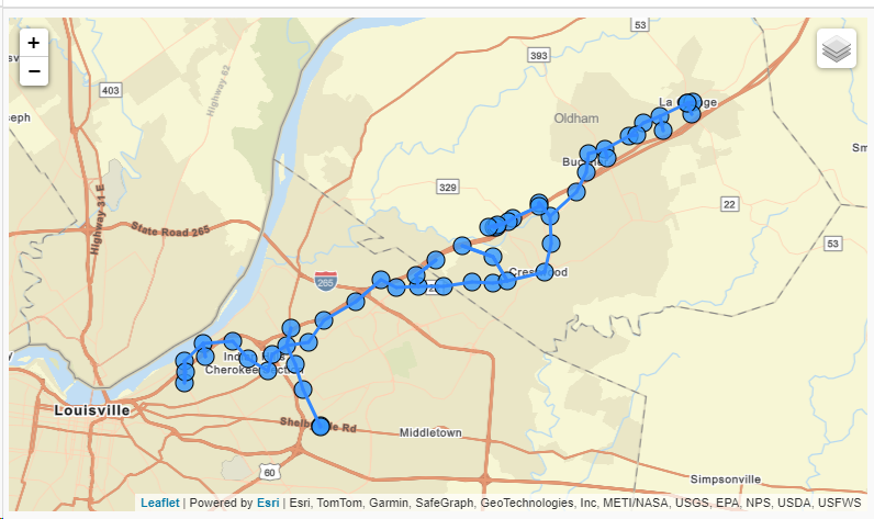
Example of Leveling Project Page, showing project L18355, a Louisville to LaGrange KY survey from 1960.
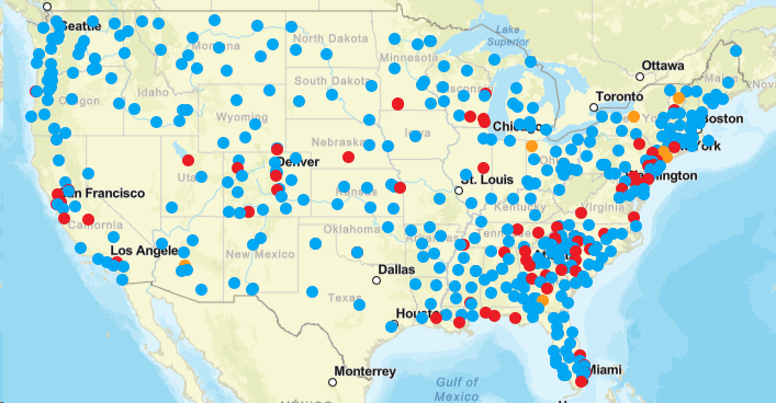 Calibration Baselines (CBL) Web Map showing available GOOD (Blue) SUSPECT (Yellow) or DISTURBED (Red) calibration stations.
|