|
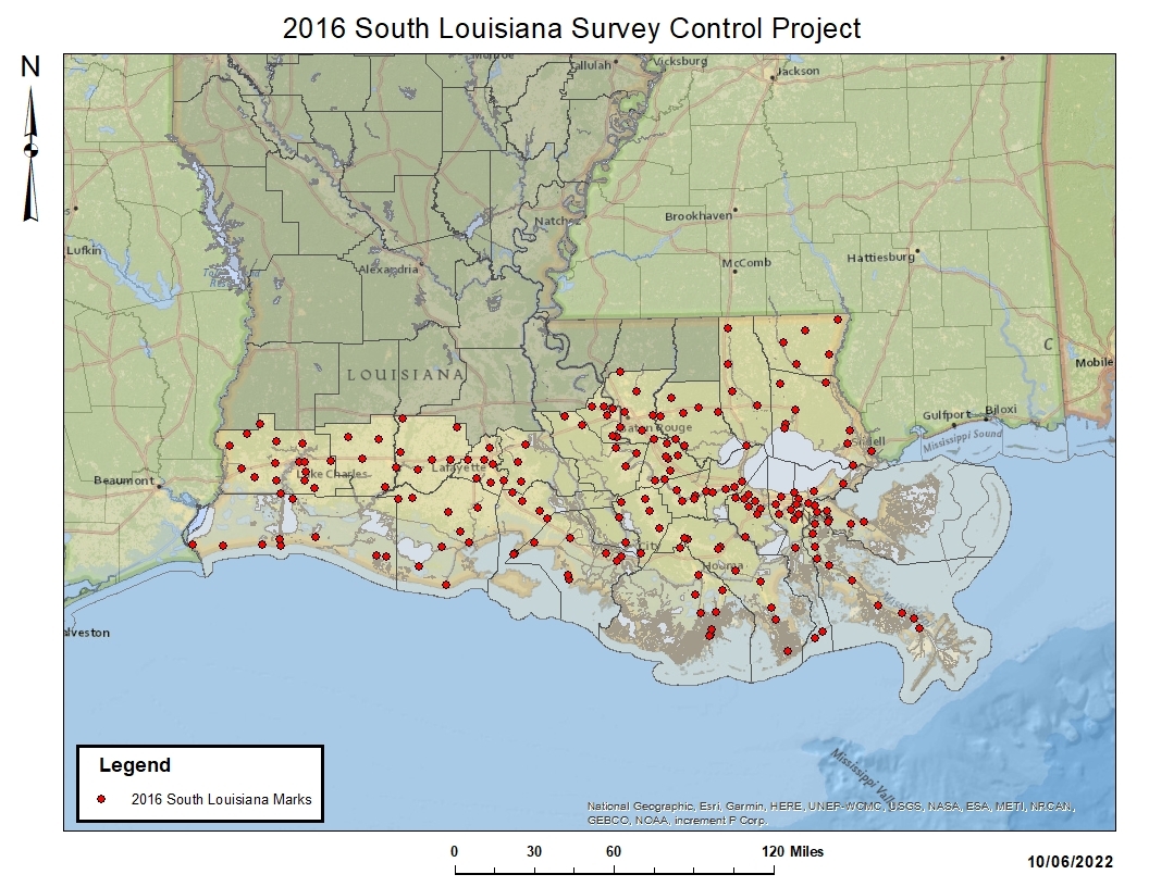
NGS and state and local partners in South Louisiana have completed a Global Navigation Satellite System (GNSS) project to monitor subsidence on bench marks and update heights in this region with ongoing vertical crustal motion. This most recent survey covers the 27 southern parishes of Louisiana, and updates the heights on 196 passive control marks. The final results from the completed project will contribute to the Modernized National Spatial Reference System and improve understanding of subsidence rates in the area. NGS has been working with constituents in Louisiana since the 1970s to monitor subsidence on bench marks and to help improve height measurements in this region with ongoing vertical crustal motion.
|