|
View this newsletter in your browser: https://content.govdelivery.com/accounts/USDOIGS/bulletins/37c27ea |
|
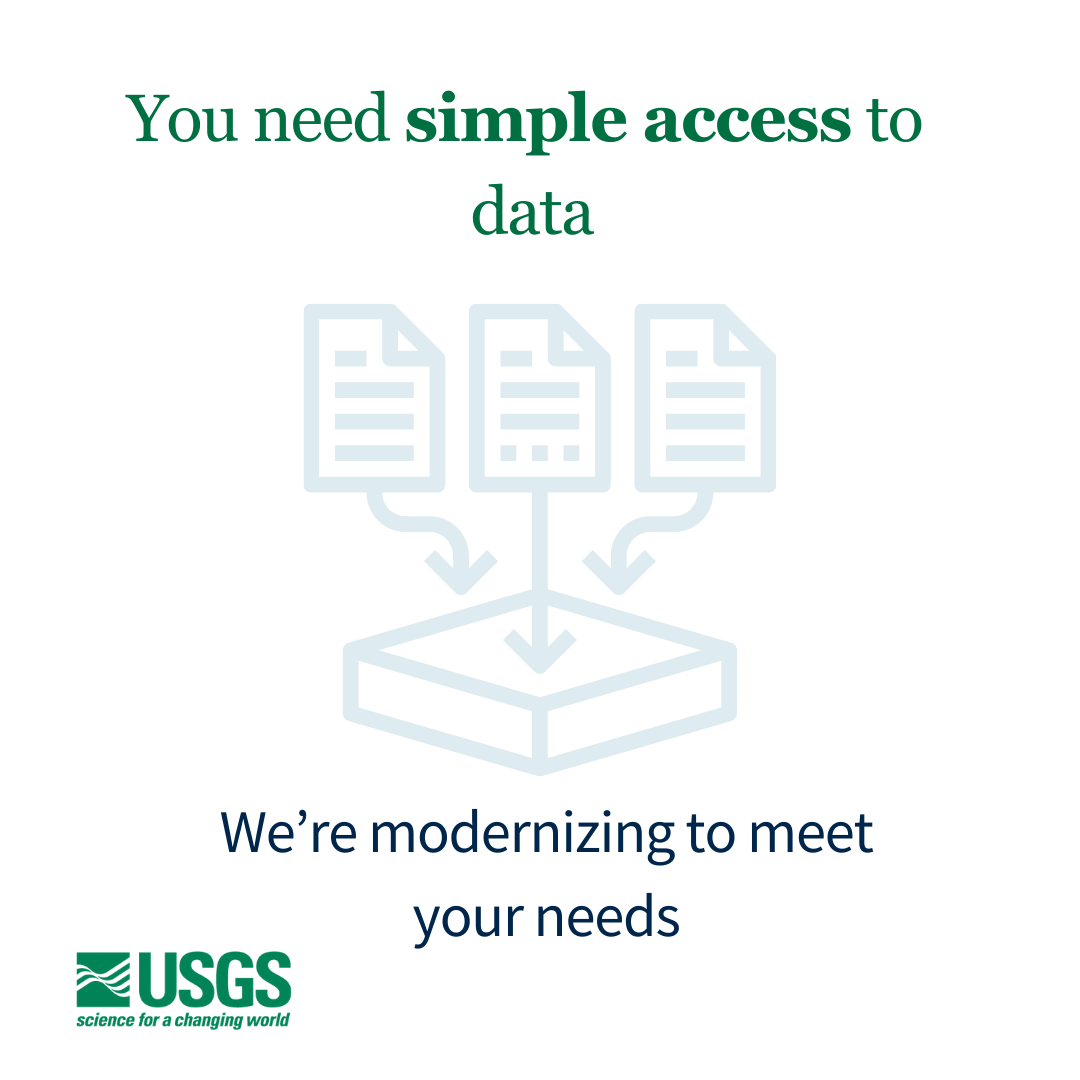 We're changing the way sample data are stored and served to our public users. These changes will affect the back-end and front-end systems we use. We know these changes will be an adjustment, and we're here to support you. Our goal is to provide a stable foundation for data management and simplify access for users.
|
|
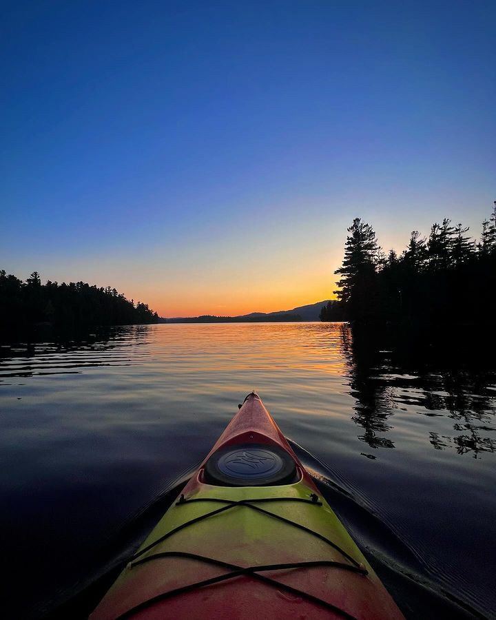
#RecreateWithUSGS photo contest concludes
Winner of the Optimum Overall category.
A kayak slips through calm waters as it heads into the sunset with tree lines flanking the horizon on either side. A crisp blue sky lies above the bright orange and yellow sunset at Lake Placid, New York. Photo by @amanda.liese on Instagram.
On October 17th, we announced the winners of #RecreateWithUSGS, our social media photo contest.
This Instagram campaign was designed to draw the connection between the importance of USGS-collected water data and safe public recreation. We wanted to garner engagement from the public as they recreated on, in, or near water while on public lands.
|
|
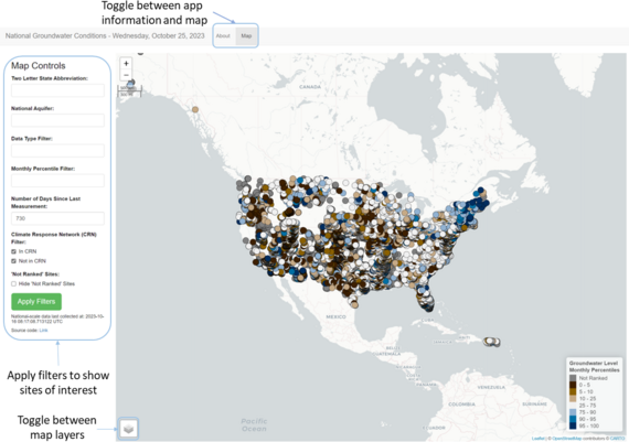 The National Groundwater Conditions web app is an experimental application that provides a searchable map interface and at-a-glance site summary statistics and visuals of current groundwater levels relative to historic values. This application provides some of the core functionality available in the former Groundwater Watch application which has been shut down.
In the future, the functionality available in this experimental application will be integrated into our existing USGS water applications such as the National Water Dashboard and Monitoring Location Pages.
|
|
Five droughts that changed history
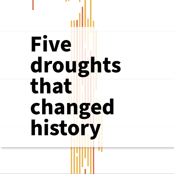 Using USGS streamgage data, our VizLab team created a stunning, self-paced data visualization showing droughts throughout U.S. history from the 1920s to near present time.
|
|
|
Updates to Water Services
|
|
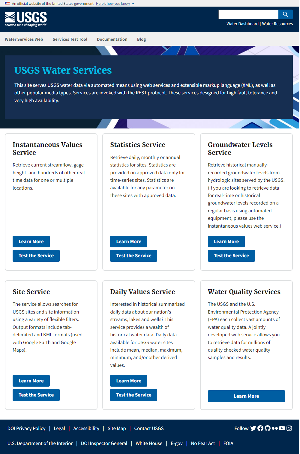 Water Services has received a modernized facelift, implementing the latest in USGS design standards, which help make it easier to find and use the automated tools you need.
|
|
|
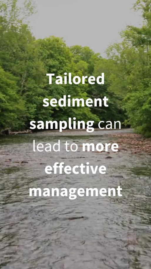
We collect data on sediment that’s hanging about – or suspended – in stream water. Water resource managers and other professionals use estimates of the suspended sediment in a stream to understand contamination, streambank stability, the infilling of reservoirs, and many other purposes.
See the recent social media post that summarizes this in video format.
|
|
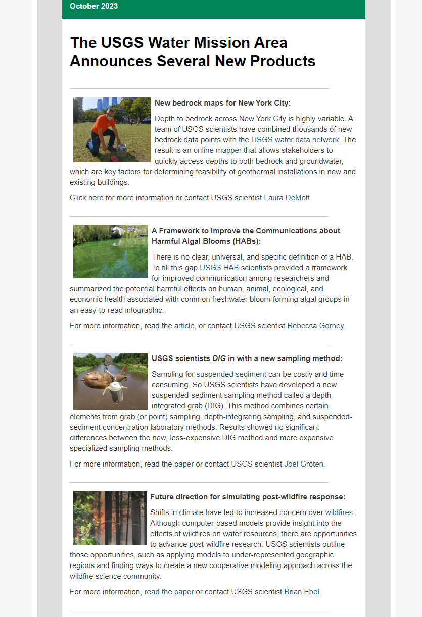 From new products to publications, this newsletter covers all things WMA-wide.
|
|
Did someone share this newsletter with you?
Join the Water Data for the Nation community and subscribe to our newsletter today!
|
|
Join our community on social media. |
|
|
|