Nevada Water Supply Outlook: January 1, 2026
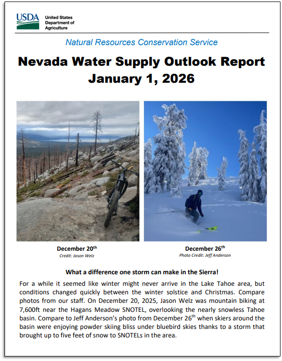
Unfortunately, so far, the theme of water year 2026 has been warmer than normal temperatures resulting in more rain than snow in the mountains. Statewide daily average air temperatures at Snow Telemetry (SNOTEL) sites were often above median in November and December. December was very warm with average temperatures near or above previous maximums between December 9 and the 23. Statewide, SNOTELs have had decent to excellent precipitation totals since October. January 1 water year precipitation is 84-256% of median for basins across the state; however, snowpack percentages are much lower, ranging from 19-128%, due to non-freezing temperatures when the precipitation fell. The good news is, snowpacks typically continue to build through March, which means there is still three months to recover from this slow start. Thanks to the rain, soil saturation levels made net gains in all basins since the start of the water year. Currently all basins have soil moisture exceeding January 1 medians. Soil moisture is record high for January 1 in the Truckee and Walker basins, Spring Mountains and Eastern Nevada. The healthy soil moisture conditions across the state provide the potential for efficient runoff come snowmelt season.
Continue reading the full report at https://www.nrcs.usda.gov/nevada/snow-survey
WHAT’S NEW FOR 2026?
For a complete overview of what we’ve been doing since our last report, take time to read our recent news release.
Accomplishments for 2026 include:
- QR Code Signs Added at SNOTEL Sites
- SNOTEL Snow Depth and Air Temperature Sensor Upgrades
- Snowpack Temperature Measurements in the Sierra
- Summer 2025 Wildfire Impacts – Midas SNOTEL
- Streamflow Forecast Evolution Charts now with Weekly Guidance Forecasts
- New SNOTEL Comparison Charts for each Basin
- Valley Precipitation Stations on Interactive Map Updated
IF YOU ARE A NEW SUBSCRIBER…
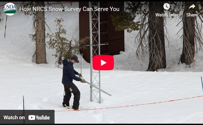
- Watch this overview video about how the Nevada NRCS snow program can serve you: https://www.youtube.com/watch?v=gWm5TeASLY8
- Read the background information on page two of the full report and other helpful information located in the appendix which discusses how the NRCS measures the snowpack, how to interpret the streamflow forecast chart, and details about various streamflow adjustments.
|