America Counts: Stories Behind the Numbers
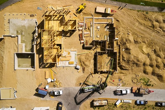
Imagine flipping the Flintstones’ bedrock house into the Jetsons’ space home. That’s essentially what the U.S. Census Bureau is doing with several construction surveys.
Think satellite imaging, artificial intelligence, new data sources and new methodology replacing survey collection methods that date back to the 1950s.
Modernization will lessen the burden on local governments to report building permits or builders to disclose building starts and status reports. No more relying on sample designs that only provide data at the state level.
Instead, satellite images will soon give us instant updates on projects at every stage of construction from start to finish down to the county and metro level for the first time.
Continue reading to learn more about:
- What are indicators?
- It all starts with a permit
- From the Flintstones to the Jetsons
|