|
| North Dakota 132nd Anniversary of Statehood (1889): November 2, 2021 |
|
|
|
|
|
|
| North Dakota joined the Union on November 2, 1889, along with South Dakota as the 39th and 40th states. |
|
|
|
|
|
|
Nicknames: the Peace Garden State; the Flickertail State; the Roughrider State; Dakota
State Motto: "Liberty and Union Now and Forever, One and Inseparable"
State Latin Motto: "Serit ut alteri saeclo prosit" (Translation: "One sows for the benefit of another age")
State Bird: Western meadowlark
Honorary State Equine: Nokota horse
State Fish: Northern pike
State Insect: Ladybug
State Fossil: Teredo Petrified Wood
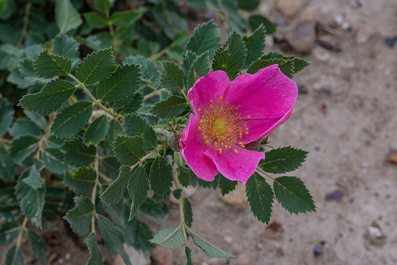
State Flower: Wild prairie rose
State Tree: American elm
State Beverage: Milk
State Fruit: Chokecherry
State Dance: Square dance |
|
|
|
|
|
|
|
The United States acquired most of the area of North Dakota from France in 1803 as part of the Louisiana Purchase. It obtained the area in the north and northeast part of the present-day state by a convention, signed with Great Britain in 1818 that extended the northern boundary along the 49th parallel. Dakota Territory was organized on March 2, 1861, from unorganized area formerly within Minnesota Territory and part of Nebraska Territory. Dakota Territory included all of the present-day states of North Dakota and South Dakota, most of Montana, the northern half of Wyoming, and a small part of Nebraska. The territory was reduced in 1863 with the organization of Idaho Territory, enlarged in 1864 with the addition of most of the remainder of present-day Wyoming, and again reduced with the organization of Wyoming Territory in 1868. In 1882, the state of
Nebraska acquired an area north of the Keya Paha River and Niobrara River.
|
|
|
|
|
|
|
| Census data for the combined area in present-day North Dakota and South Dakota are available in the 1860 census (and listed in national tables with South Dakota). The 1860 census population is for territory reported as "unorganized Dakota" and includes population in areas now in Montana. The 1860 population excludes some population enumerated in Nebraska Territory. Although the state had not yet been legally established, the 1870 and 1880 populations generally are for the area of the present state. The population of Dakota Territory as legally established was 135,177 in 1880 and 14,181 in 1870. |
|
|
|
|
|
|
|
| Data for the legally established state of North Dakota are available beginning with the 1890 census. |
|
|
|
|
|
The following facts are available thanks to the public’s invaluable participation in U.S. Census Bureau surveys. We appreciate the information shared by each respondent as we continuously count and measure America’s people, places, and economy. |
|
|
|
|
|
The percentage of people in North Dakota who have obtained at least a bachelor's degree
|
|
|
|
|
|
The median household income in North Dakota
|
|
|
|
|
|
The total number of housing units in North Dakota
|
|
|
|
|
| 2020 Census: The Population of North Dakota |
|
|
|
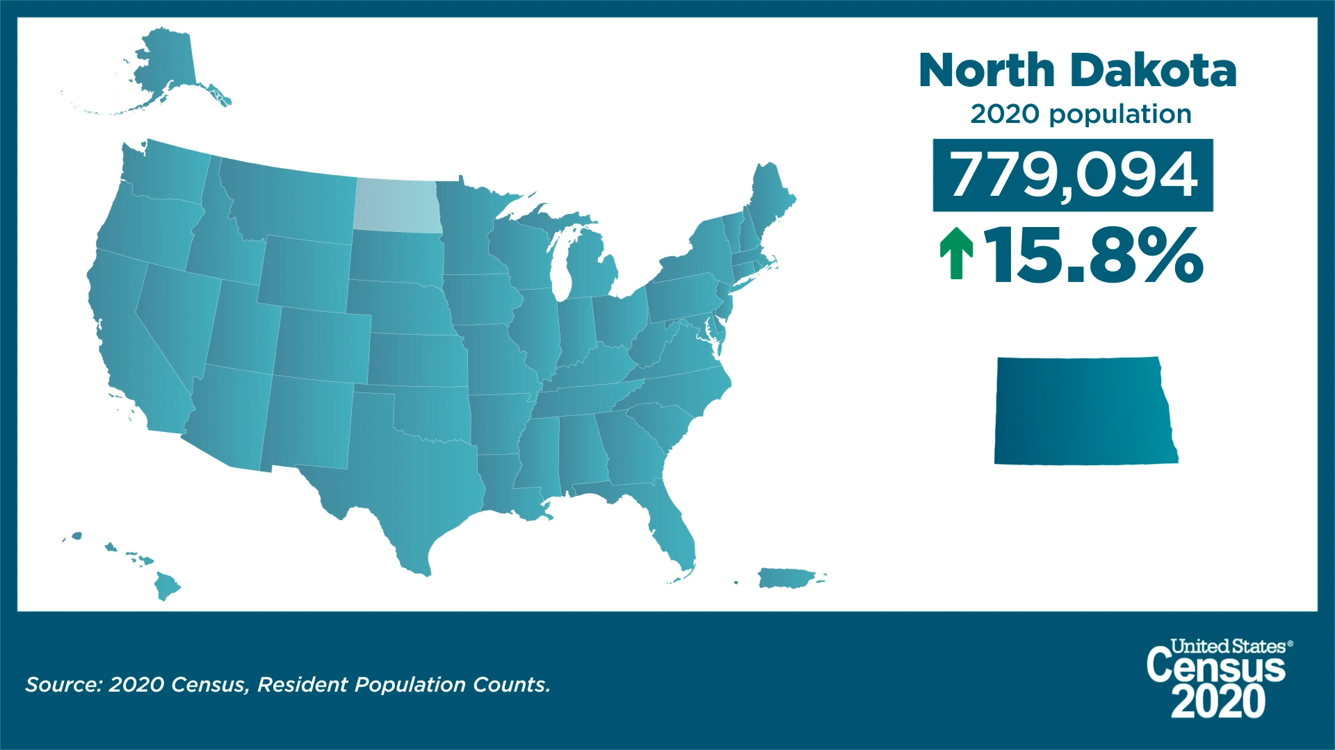
| The number of people living in North Dakota was 779,094 as of April 1, 2020, an increase of 15.8% since the 2010 Census. View North Dakota’s population change by decade. |
|
|
|
|
| North Dakota Was Fourth Fastest Growing State Last Decade |
|
|
|
| America Counts has launched a state-by-state look at the demographic changes the new 2020 Census results reveal. |
|
|
|
|
| Our state profiles bring you key population characteristics of your state and your county all on one page. |
|
|
|
|
| See how they compare to the nation overall and to neighboring counties and states. Through interactive state and county maps for the 50 states, the District of Columbia and Puerto Rico, each page provides a snapshot of change from 2010 to 2020 on five topics. |
|
|
|
|
|
Did you know?
- The numeric change in population for North Dakota from 2010-2020 was 106,503.
- The percentage of population aged 18 and older in North Dakota was 76.5%, a total of 596,093 adults.
- This was an increase of 14.0% from the 2010 Census population aged 18 and older in North Dakota.
|
|
|
|
|
 |
| About the Geographic Areas |
North Dakota has five federally recognized American Indian area reservations, two with off-reservation trust land.
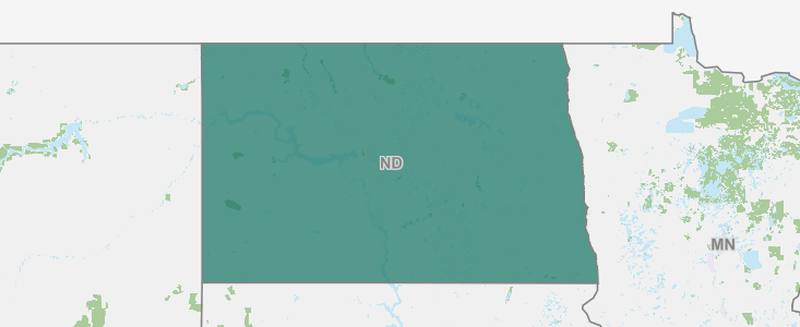
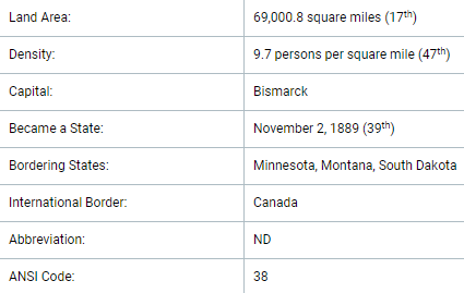
North Dakota has three metropolitan statistical areas, five micropolitan statistical areas, and one combined statistical area. There are 53 counties in North Dakota. |
|
|
|
|
|
| Foreign Trade |
Take a look at the various imports to and exports from North Dakota. See where materials such as wheat and meslin, sunflower seeds, petroleum oils and oils from bituminous minerals, parts and attachments for derricks and cranes, soybeans, tractors, and more rank on both lists. Also, see lists of the countries that have sent the most imports by 2020 dollar value to North Dakota and the countries that have received the most exported goods from North Dakota as measured by 2020 dollar value.
|
|
|
|
|
|
|
|
|
|
|
|
| View North Dakota Statistics in Our COVID-19 Data Hub |
|
|
|
| View the state COVID-19 impact planning report. Take a look at new survey data and estimates. |
|
|
|
|
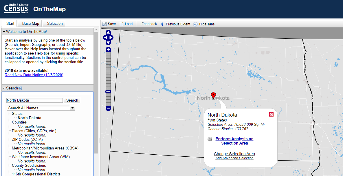
OnTheMap Version 6 is the sixth generation of OnTheMap, a web-based mapping and reporting application that shows where workers are employed and where they live. It also provides companion reports on age, earnings, industry distributions, race, ethnicity, educational attainment, and sex.
Race, Ethnicity, Educational Attainment, Sex, Firm Age, and Firm Size variables are made available in OnTheMap through a beta release of data.
OnTheMap provides an easy-to-use interface for creating, viewing, printing and downloading workforce related maps, profiles, and underlying data. Based on 2002-2018 LEHD Origin Destination Employment Statistics (LODES), OnTheMap is a unique resource for mapping the travel patterns of workers and identifying small-area workforce characteristics. |
|
|
|
|
| Looking For More Relevant Data and Information About North Dakota? |
|
|
|
|
| Customize the data that you receive from the Census Bureau. When you click on the link for your state below, we will be able to provide you with more timely and relevant information. We'll be able to send you state-specific updates, upcoming events in your area, job opportunities, interactive data visualizations, and more. Take the next step today! |
|
|
|
|
Help us spread the word about Census Bureau data. Share this newsletter on social media or forward it to a friend. |
|
|
|
|
|
|
|
| About the Census Bureau |
| We serve as the nation’s leading provider of quality data about its people and economy. The Census Bureau is the federal government's largest statistical agency. We are a scientific organization focused on data. Policy-makers, businesses, and the public use our information to make far-reaching decisions. |
|
|
|
|
|
|
|
|
|
|