New geological mapping project for UK Continental Shelf set to boost offshore infrastructure and development

Having trouble viewing this email? View it as a Web page.

BGS Latest News
The Ormonde Offshore Wind Farm, located in the Irish Sea. © Ben Barden Photography Ltd.

New project mapping UK Continental Shelf provides boost to offshore infrastructure and development

The UK’s seabed plays a vital role in promoting economic growth, enabling the transition to net zero and supporting diverse marine habitats. 

BGS is leading a three-year project funded by The Crown Estate to develop a new suite of seabed geology datasets and reports, providing crucial information for offshore developers about the seabed around the UK.

The project, ‘Seabed Geoscience for Marine Planning’ (Seabed GeoMaP), will deliver new knowledge and information about the seabed and shallow subsurface. The team will develop national-scale seabed datasets that cover themes such as seabed geomorphology, Quaternary sediment thickness, sediment variability, submarine landslides and the likelihood of seabed change.

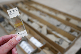
Thin section of BP well 21/10- 2, one of the earliest recovered from the Forties field and UK North Sea exploration. BGS © UKRI

Forties at 56: the North Sea discovery that’s informing the energy transition five decades later

Geological samples recovered from the UK’s first giant oil field in the 1970s, and now held in the National Geological Repository, continue to inform industry and researchers aiming to support the UK’s energy security needs.

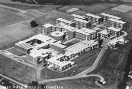
Aerial view of Mary Ward College as it was offered for sale in 1975. © NERC.

BGS celebrates half a century in Keyworth

2026 marks 50 years since BGS, the world's oldest national geological survey, relocated to the site of our current headquarters, just outside Nottingham.

We look back at some of the highlights from the last five decades. 

In other news 

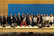
BGS and the French geological survey, Bureau de Recherches Géologiques et Minières (BRGM) signing the Memorandum of Understanding. © BRGM

British and French geological surveys strengthen collaboration through new agreement

BGS and the French geological survey, Bureau de Recherches Géologiques et Minières (BRGM), have signed a three-year bilateral Memorandum of Understanding (MoU) cementing the two organisations’ commitment to enhanced collaboration through the sharing of data, knowledge and best practice. The MoU aims to combine the strengths of two of Europe’s leading geological surveys to create a platform for scientific excellence with international influence and sustainable impact.


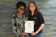
Maria Kariuki, EDI officer at BGS, and Keely Mills, EDI lead at BGS, with BGS's Race Equality Charter Bronze Award. BGS © UKRI.

BGS one of the UK’s first specialist research institutes to receive Race Equality award

BGS has secured Bronze accreditation under the Advance HE Race Equality Charter framework, recognising its commitment to identifying and addressing race equality issues in the geosciences.

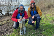
Chris Bengt, BGS and Lancaster University, and supervisor Dr Andrew Smith, BGS, with collected lake sediment cores. BGS © UKRI.

New research demonstrates stability of phosphate oxygen isotope in lake sediments

The discovery by researchers from BGS, Lancaster University, Loughborough University and the University of Copenhagen could boost research into past environmental conditions, tracking nutrient pollution and examining the impacts of freshwater management.


On the blog

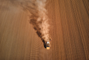
Aerial shot of a tractor ploughing a dusty field in High Peak, England, showcasing rural agriculture. Red Zeppelin via Pexels.

Improving bioaccessibility testing for contaminated soils

Soils that have been affected by pollution from sources such as vehicle emissions, industry or other human activities may contain harmful substances. Understanding how these contaminants can affect people is an important step in assessing and managing potential health risks.

BGS has been trialling a novel bioaccessibility tracing technique to ascertain if it offers more analytical precision over traditional methods of detecting chemicals in contaminated soils.

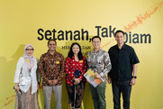
Setanah Tak Diam exhibition - photo by Indigosix Photoworks

Interactive exhibition highlighting multi-hazard research opens in Indonesia

The exhibition, part of a collaborative effort co-led by BGS, invites the public to consider how communities adapt to dynamic landscapes shaped by natural hazards.  


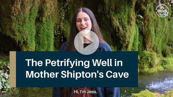
Latest video: The Petrifying Well 

Mother Shipton's Cave video thumbnail

Mother Shipton's Cave in Knaresborough is home to a unique geological phenomenon: the petrifying well. The high mineral content in the well has become famous for turning everyday items to 'stone', leading some to believe it has magical properties. BGS Geomicrobiologist, Jess Mackie, explains more about this natural wonder and the processes going on behind the scenes