Geological research in North Sea helping to safeguard subsea cables

Having trouble viewing this email? View it as a Web page.

BGS Latest News
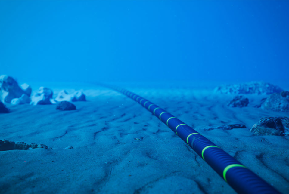
An image of a subsea cable on the sea floor. The cable is blue with green elements.

Geological research in North Sea helping to safeguard subsea cables

New research by BGS, in collaboration with Durham University and the University of Dundee, shows that the shallow seabed of the North Sea is more geologically complex than typically represented in current cable burial approaches. The findings have important implications for how subsea cables are routed, installed and safeguarded from natural and anthropogenic hazards such as erosion, dredging and ship anchor strikes. 

The study integrates over 12 000 geological records from BGS archives and the Crown Estate’s Marine Data Exchange, providing the most detailed regional picture to date of shallow subsurface conditions across the UK North Sea. The results show that layered soils are widespread, with most sites containing multiple layers of different soil types, often with sand overlying clay, gravel, peat or shallow bedrock.

The findings provide stronger evidence for early stage cable-route planning and risk screening, and could help inform future updates to cable-burial approaches. By moving beyond simplified seabed classifications, the project enables industry and regulators to make more informed decisions about where and how deeply offshore cables should be buried.

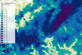
Map extract of the BGS SDTM observation driven model showing modelled superficial deposit thickness. The colour changes from lime to dark blue.

Updated national 3D model will determine the depth to the solid bedrock beneath our feet

The BGS Superficial Deposit Thickness Model (SDTM) now includes an elevation model of geological rockhead for the first time, providing important data for civil engineers, geoscientists and environmental scientists.

The SDTM models have been created combining observations of superficial thickness from borehole logs held in our archives with mapped superficial and artificial geology extents from the 1:50 000-scale digital geological map of Britain.

An aerial image of Berwick-upon-Tweed with the river central to the image.

New geological mapping underway to help manage flooding along the River Tweed

BGS geologists have started a four-year project that will enhance knowledge of ground conditions and undertake flood-pattern investigations around the River Tweed.

The survey will provide crucial geological data for local authorities, organisations and others involved in land-management initiatives to the benefit of the 450 000 people who live in or around the flood-prone Borders region.

In other news

Looking upstream from the outskirts of Dongpu village toward Yushan mountain, the highest peak in Taiwan, standing at nearly 4000 m

Delving deep into mountains for future water security

A new BGS-led project is using water-tracing investigation methods, geophysics and modelling to understand how water moves from mountains to the lowlands, helping to improve water security for billions of people.

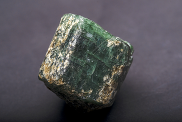
Apatite, a phosphorus-bearing mineral. The mineral is green and shaped into a cube.

UK Critical Minerals Intelligence Centre (CMIC) makes recommendations for the next UK criticality assessment

Critical minerals underpin the UK’s economy, technology, energy transition and industrial resilience. A new report evaluates a series of methodological enhancements through improved quantification of economic importance, including trade restrictions and expanded considerations for environmental, social and governance (ESG) criteria. The report has been designed to help tailor future UK criticality assessments to the structure of the UK economy, its trade profile and strategic industrial sectors. 

An aerial shot of Cheshire geo-observatory

Cheshire Geoenergy Observatory releases key geological datasets for UK thermal energy storage scheme design

The UK Geoenergy Observatories (UKGEOS) team at BGS has released the drilling report and the final 17 borehole data packs from the construction of the UK Geoenergy Observatory in Cheshire. The report and data packs provide a unique resource for scientists working on the geology and hydrogeology of the Sherwood Sandstone Formation, an important aquifer and reservoir rock.

European CO₂ Storage Atlas launch event in Brussels, May 2025, with BGS Ceri Vincent as panellist. BGS © UKRI.

Building Europe’s geological future

BGS scientists are contributing to a continent-wide initiative that is strengthening collaboration across borders to tackle shared subsurface challenges and unlock new opportunities.

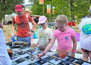
hildren engaging in geology at the Green Man Festival. BGS © UKRI.

New NERC-funded project empowers young people to engage with environmental science

BGS is part of a new, collaborative project, funded through NERC’s ‘Opening up the environment’ programme, helping the environmental research community become more accessible.

A screengrab from Tepr's song Mirrors featuring his silhouette with the silhouette of audio equipment and a blue cloth in the background

BGS research used as lyrics in new song by Tepr

In his latest song, Mirrors, musician Tanguy Destable - also known as Tepr - used words from the soils and landscapes section of BGS' website. The words reflect the importance of soil to society and how understanding this natural resource helps us to understand our future. 

The words come in around 2:10. You can listen to the song online


On the blog

The pebbly beach of Sidmouth. Cliffs are in the background and the sea enters the picture from the right.

Collecting beach pebbles: fun hobby but is it legal?

The UK coastline will be inundated with keen holidaymakers this summer, many of whom will take a memento of their trip home in the shape of a pebble or two. 

But is it illegal to take pebbles from the beach to commemorate a great holiday? In short: it depends! Find out more in a new blog from BGS minerals geologist, Clive Mitchell