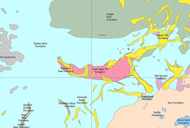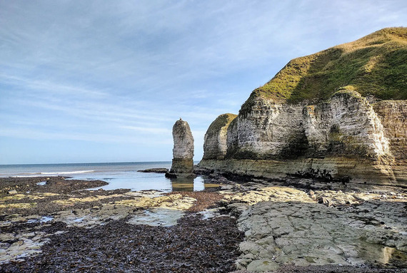
Geologists at BGS have completed a major update to the geological map of the Yorkshire Wolds, where the underlying rocks and sediments play a vital role as natural reservoirs for the region’s underground water resources.
The geology in some parts of the region was last mapped in the 1800s, before modern understanding of the impact of tectonics on the Chalk aquifer and information about differences in the properties of the chalk layers was recorded.
The aquifer currently faces a number of pressures, including increased water demand and risk of nitrate contamination from agricultural land practices. The new geological mapping will provide detailed and accurate information to inform decision making around the use of these resources.
|