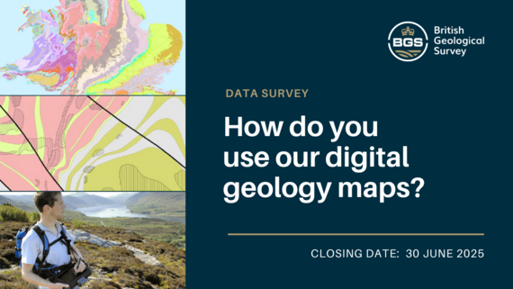
BGS digital geology maps: have your say
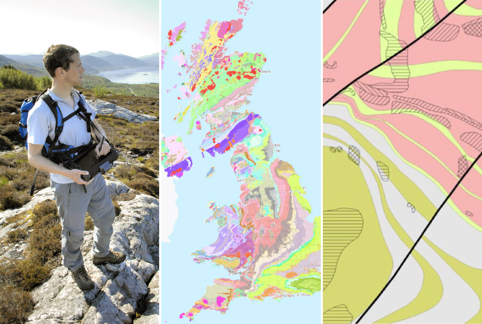
A good understanding of the subsurface is critical for many applications across a wide range of disciplines, including aquifer management, radioactive waste disposal, mineral resources, engineering and geohazards.
BGS' digital geological maps are a unique national resource to help further this understanding. The maintenance and development of this geological data is a vital part of our survey role. As such, BGS is constantly striving to improve these geology maps and their availability.
However, implementing effective change requires input from all of our stakeholder groups. If you use our digital geology maps (formerly known as BGS DiGMap) we'd love to hear from you.
To have your say in helping shape the next stage of BGS Geology, please complete the questionnaire via the link below before 30 June.
Fill out the questionnaire here.
|