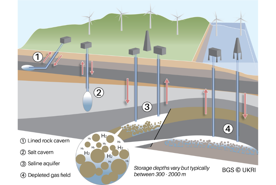
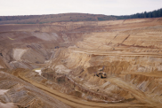
As renewable energy sources like wind and solar increase their market share, the need for reliable, long-duration energy storage solutions become increasingly important for enabling a balance between supply and demand.
Hydrogen, produced from renewable sources, can act as an effective energy carrier to store excess power as well as an alternative fuel to decarbonise hard-to-abate sectors like shipping and heavy industry.
A new BGS science briefing note focuses on the potential of hydrogen storage to support the UK energy transition.
|
|
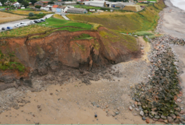
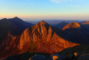
Improving our ability to predict how coastlines will change is an essential part of quantifying risks from coastal erosion and flooding.
A new tool is now available, designed to help coastal engineers and practitioners better manage the compound risk of coastal erosion and flooding.
|
|
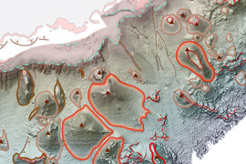
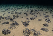
BGS has delivered the first marine geology and habitat maps in one of the World's largest marine protected areas.
The final maps will be used by the Ascension Island Government Department of Conservation to manage the marine environment for future generations.
|
|
|
In other news
New data reveals latest mineral workings around Great Britain and Northern Ireland
The latest release of the BGS BritPits dataset covers more than 260 000 mineral workings in Great Britain, Northern Ireland, the Isle of Man and the Channel Islands.
The data includes active, inactive, dormant and ceased sites, as well as a range of mineral operations including mines, quarries, onshore oil and gas fields, wharfs and rail depots handling mineral products and industrial processes
|
Isle of Arran announced as UNESCO Global Geopark
The Isle of Arran has officially been named as the tenth UNESCO Global Geopark in the UK. Arran contains a variety of rock types and structures, vast archaeological and geological heritage, and an array of habitats that all make it a truly unique location.
|
On the blog
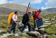
Exploring Scotland’s hidden energy potential with geology and geophysics: fieldwork in the Cairngorms
Geothermal energy is often associated with places like Iceland or other volcanic hot spots, but Scotland’s ancient granites may also be able to supply sustainable heat. The Cairngorm Pluton, part of the East Grampians Batholith, is one of the UK’s highest heat-producing granites, with intriguing geothermal potential.
Innes Campbell's work combines geophysical surveying with laboratory experiments to explore this potential, whilst addressing uncertainties about the region’s geology. In this blog he talks in more detail about his quest to find geothermal potential in Scotland's ancient rocks.
|
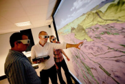
Celebrating 20 years of virtual reality innovation at BGS
Twenty years ago, BGS took a bold step into the world of virtual reality (VR), pioneering 3D visualisation in geological surveying. From its first immersive 3D room in 2005 to its global influence today, the journey of VR at BGS has been one of constant innovation, exploration and impact.
Twenty years after its installation, BGS Visualisation Systems lead Bruce Napier reflects on our cutting-edge virtual reality suite, and looks forward to new possibilities.
|
Listen in to our new podcast

BGS Core Questions:
Can satellites see you waving down on Earth?
Core Questions is our new podcast which aims to uncover how geology shapes our world.
In this first episode, remote sensing geoscientist Alessandro Novellino explains how different types of satellites work, what kind of data they collect and how we use that information to study our planet. He also keeps us entertained with some great stories, including one about the film that inspired him towards a path in geology - can you guess what it is?
Plus, we settle our Core Question: could a satellite see you waving down on Earth?
At only 15 minutes runtime, why not add it to your playlist and enjoy during your next tea break?
Add Episode 1: Can satellites see me waving from space? to your playlist.
|
|
|
|
|