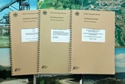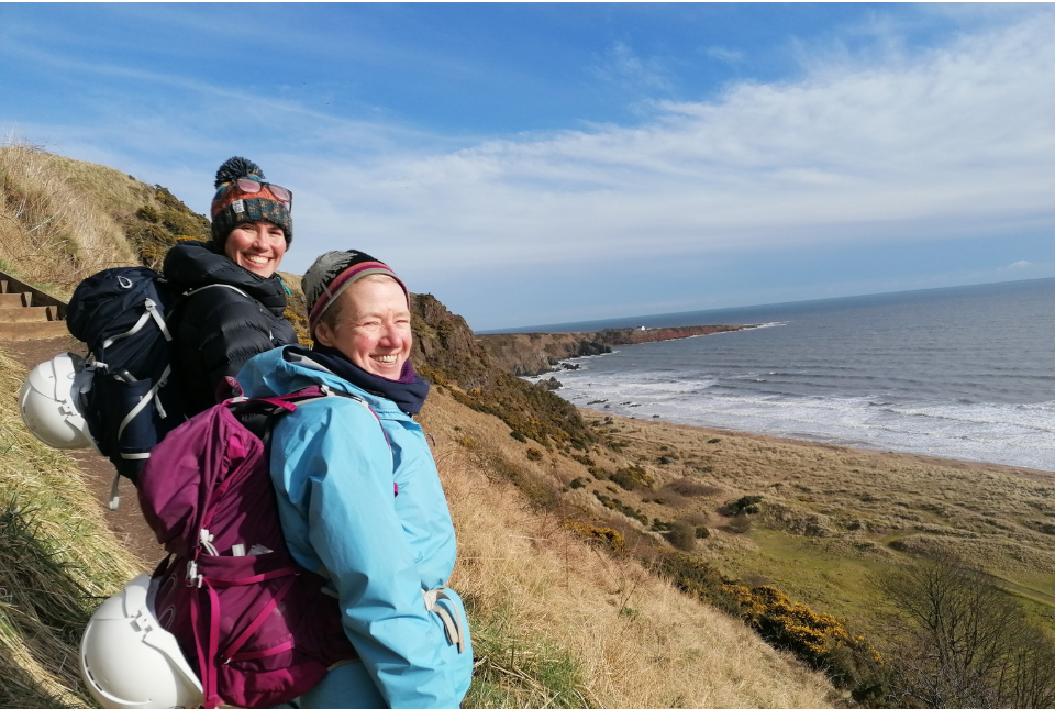
The three-year project was commissioned under the BGS national mapping programme, revising geological maps last surveyed nearly 100 years ago.
The results will help BGS to better understand ground conditions and the pathways for groundwater flow, supporting groundwater management and assessments of geothermal resource potential. In the future, this will help farmers and other rural businesses identify more reliable groundwater sources and make decisions around investment in ground-source heat pumps.
|
|
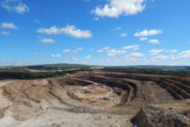
The yearbook provides comprehensive statistical data on minerals production, consumption and trade. It is of value to all those interested in Britain’s minerals industry and its contribution to the national economy. The UK Minerals Yearbook 2023 is available to view and download on the Minerals UK website.
|
|

Taylor Swift’s record-breaking concerts in Edinburgh have now been scientifically recognised as ‘ground shaking’, with earthquake readings being detected up to 6 km from the venue.
|
|
|
In other news
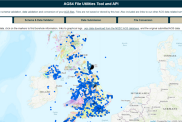
Update to BGS AGS file utilities tool released
We have recently released significant updates to our online tool for validating geotechnical data held as AGS files.
The AGS data format is used for sharing information about geotechnical projects, including boreholes, geological information, samples and test results. The update includes improvements to the tool’s user interface and the ability to convert AGS data into MS Excel files.
|
On the blog
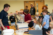
BGS Open Day 2024
BGS hosted its bi-annual Open Day on 8 June 2024, welcoming more than 1000 visitors to its headquarters in Keyworth, Nottinghamshire.
This year’s BGS Open Day featured more than 25 hands-on activities, including landslide modelling and gold panning, as well as a wide range of demonstrations that were fun for the whole family.
|
|
|
|
|