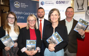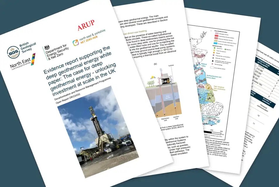
A Government White Paper entitled ‘The case for deep geothermal energy — unlocking investment at scale in the UK‘ was commissioned by the North East Local Enterprise Partnership (LEP) and funded by the Department for Energy Security and Net Zero (DESNZ) and the North East and Yorkshire Net Zero Hub.
BGS has subsequently written and released this supplementary evidence report, funded by UK Research and Innovation (UKRI), that underpins the White Paper.
|
|
BGS has forged a partnership with Ossian — which will be one of the world’s largest floating wind farms on completion — to share valuable data that will support BGS’s work to understand earth and environmental processes.
|
|
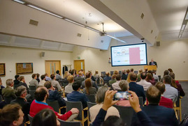
Nursrat Ghani MP, Minister of State at the Department for Business and Trade (DBT), provided a virtual opening address at the first annual conference, hosted at our headquarters in Keyworth. The conference set out the context and objectives of CMIC, the research and analyses it carries out, both in-house and commissioned from other bodies, and its engagement with UK Government and industry.
|
|
|
In other news
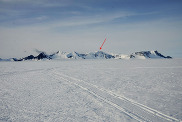
Antarctic mountain named in honour of BGS scientist
Each year, the Antarctic Place-names Committee recommends new names for geographical features to honour scientists and support staff who have worked in the region.
This year, BGS’s Ian Millar has been honoured for his geological research in Antarctica by having a mountain on the continent named after him.
|
The optimisation of plutonium separation
The development of robust analytical methods to determine rates of soil erosion and its effect on land degradation is vital to advise mitigation strategies, ultimately ensuring the future sustainability of soils.
BGS research has lead to advancements in the detection of plutonium and ultimately the determination of soil erosion rates in tropical soils.
|
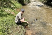
New method developed to identify wetland inhabitants
A team of isotope scientists from BGS, along with Cardiff University, has led research that has developed a new analytical method to identify archaeological remains of humans and animals that once inhabited wetlands. The method provides an additional tool for archaeologists to explore human and animal mobility in the past.
|
On the blog
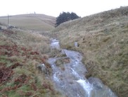
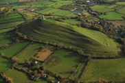
Natural flood management: is geology more important than trees?
There is growing pressure to change the way landscapes are managed at large spatial scales to respond to the climate and biodiversity crises. Despite its newfound popularity in UK policy, there are still uncertainties about the effectiveness of NFM at large spatial scales and for large floods.
Recent work by Heriot-Watt University, the University of Edinburgh, BGS and the University of Dundee has started to look at these questions.
|
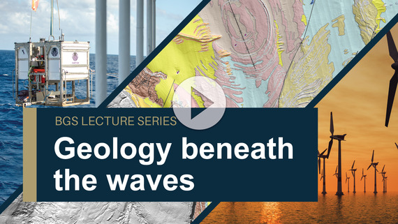 Over 70 per cent of the Earth’s surface lies beneath the waves of our seas and oceans. Most of this hidden world remains uncharted; however, scientific research, offshore development, conservation and marine management are all driving an increasing demand for offshore environmental data.
This special webinar focuses on some of the cutting-edge geological sea floor mapping and modelling research that is currently being undertaken at BGS.
|
|
|
|