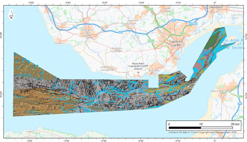
The British Geological Survey (BGS) is the latest UK Government organisation to join the newly unveiled UK Centre for Seabed Mapping (UK CSM), helping to boost marine data and mapping standards.
The UK CSM is a new initiative designed to increase the global coverage, quality and accessibility of seabed mapping data through national collaboration.
The centre is administered by the UK Hydrographic Office (UKHO), and it aims to support a more integrated marine geospatial sector for the UK.
|
|

Groundwater can play a vital part in keeping the UK’s water supply flowing, but we need to ensure that we monitor levels and rates of extraction during dry spells.
|
|
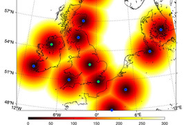
Three new geomagnetic observatories have been installed across the UK to fill in the country’s 'blind spots' and tackle the risk posed by space weather.
|
|
|
Upcoming events
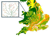
GeoScour dataset launch event
8 September - 1pm
BGS Product Development invites you to the launch of our newly updated dataset, GeoScour. Registration is now open online.
|
In other news
BGS Strategy stakeholder survey
Have your say as we develop our new 2023-2027 strategy. Your feedback will help inform our thinking and shape the strategy. A draft strategy will be available for public consultation in the autumn.
|
On the blog

River erosion: the forgotten hazard of flooding
Impacts from flood events can be widespread, long-lasting and extremely costly. The UK Government and environmental protection agencies continue to invest heavily in mitigation measures, as well as trying to predict which areas are most at risk.
|
|
|
|
|