|
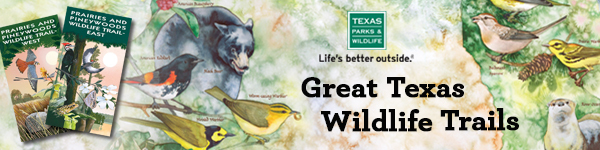
Spring migration is in full swing, and it's time to plan your outdoor adventures and explorations with the help of the Great Texas Wildlife Trails!
These nine driving trail maps will lead you to the best spots in Texas
to see birds, butterflies, bats, pronghorns, and more! What will you
discover?
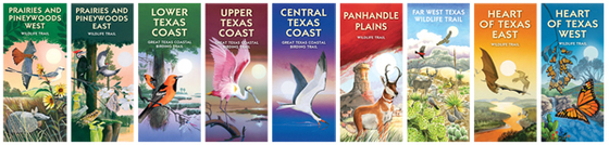
New Maps Available
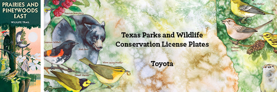
Newly revised maps for Prairies and Pineywoods East and Prairies and Pineywoods West are now available. You can purchase these, or any of the 9 regional maps, here.
The print maps are beautifully illustrated and include driving
directions, GPS coordinates, the wildlife you might see,
contact information, and much more!
Explore Wildlife Sites Online
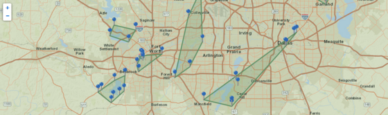 Check out the Great Texas Wildlife Trails website
to find a wildlife destination near you. The website features an
interactive map, regional driving loops to unique wildlife-viewing
sites, gorgeous photos, and comprehensive site and community
information.
Follow Us on Facebook
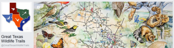 The Great Texas Wildlife Trails are on Facebook! Like us for info on sites, sample itineraries,
wildlife-viewing events and activities, and wildlife facts and photos.
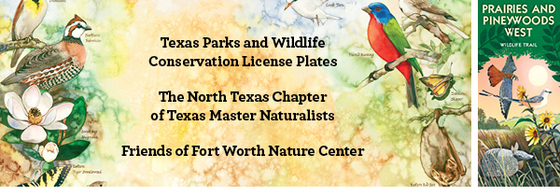
Thanks to our Sponsors:
|