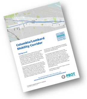
The Columbia/Lombard Mobility Corridor Plan is a plan to address safety, mobility, and access for freight, active transportation, and public transit both along the corridor (east/west) and across it (north/south). The project area runs from Interstate Ave to I-205 with a buffer area to include parallel routes. The project began in January 2019 and is expected to go to City Council in summer 2020.
Now Available: Existing Conditions Report
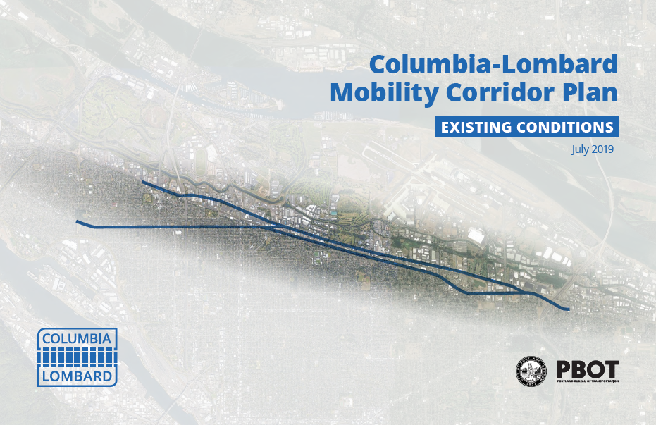
Want to learn more about the existing conditions on the Columbia and Lombard corridors? We encourage you to review the Existing Conditions Report, now available on the project website. The report highlights road and area characteristics, current infrastructure assets and gaps, and existing safety and transportation issues. A summary document of key findings is also available. Further analysis will build on this document to identify additional issues and needs.
Summary of Public Involvement Activities
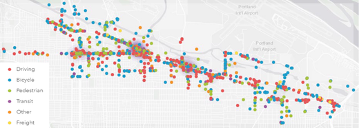
During the month of May and June, an online interactive survey collected feedback on issues, challenges, and opportunities residents experience on and around these corridors. The survey asked about issues in the project area, and provided an online map where respondents could post comments about a specific location by travel mode. More than 750 people participated in the survey, with more than 1,500 comments left on the interactive map. Thanks to everyone who participated!
A summary of the survey results, as well as other engagement activities in the planning process so far, can be found in this summary document.
Next Steps
The issues and needs identified through public engagement, as well technical analysis, are now being reviewed by the project team. A comprehensive list of potential projects to address these issues will be shared in the fall, with another opportunity for input. Watch for another email update that will provide information about how to get involved in this next phase of the planning process.
|