Are OLAP Walk-in areas open to quail hunting during deer rifle season?
Yes. Rifles and shotgun slugs are prohibited on OLAP Archery/Shotgun Only Walk-in Hunting Areas. These areas are open as usual to hunting with archery and shotgun with pellets.
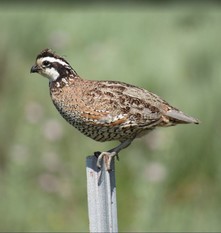
Where can I find Northern Bobwhite?
The Northern Bobwhite is a shrub obligate species that prefer areas within 100 feet of protective cover to escape avian predators. Protective cover consists of low-growing vegetation that provides a visual barrier to these predators in addition to thermal cover, such as plum, sumac, blackberries, downed trees, etc. These can often be located by scouting the online OLAP maps with the default aerial photo basemap.
Click here to access the Oklahoma Quail Habitat Guide and Northern Bobwhite Habitat Requirements and Evaluation Guide for more information on quail habitat preferences.
Where can I find Scaled Quail?
Scaled Quail can be found in low numbers in localized areas of the panhandle. On OLAP in Cimarron Co., they can be found in low numbers on native grassland with yucca, cactus, and other shrubs/forbs. Be aware that Scaled Quail hunting can be challenging as coveys may not be uniformly distributed on the landscape. Look for structure such as stacks of pallets, old rusted vehicles, etc. These can often be located by scouting the online OLAP maps with the default aerial photo basemap.
Note: Review the online OLAP maps to verify habitat cover for Cimarron Co. Much of this land is agricultural land leased for pronghorn and sandhill crane opportunities, and these agricultural tracts will have very limited upland bird opportunities..
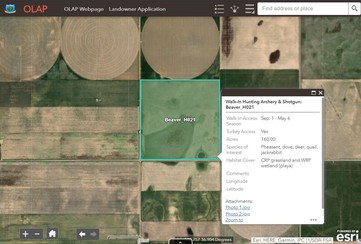
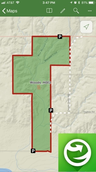
Remember to click on walk-in areas to bring up more information, including access types, dates, habitat information, specific comments/instructions, and photos. This function is available when accessing maps on a computer or via the mobile app (Explorer for ArcGIS). |
|
 |
|
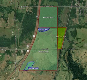
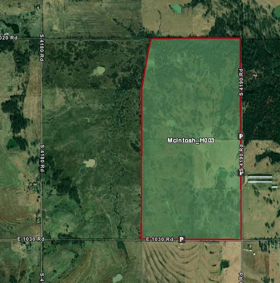
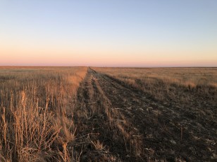
Reminder: Review the maps before entering the walk-in area. Get a good feel for the property boundaries, topography, changes in land use (farming or ranching), etc.
Boundaries may consist of a change from grassland to agriculture, a mowed strip (example pictured), etc. Some walk-in areas may not have fences for OLAP boundary signs, and it's the responsibility of hunters to know their location and the walk-in area's boundaries.
|
|
 |
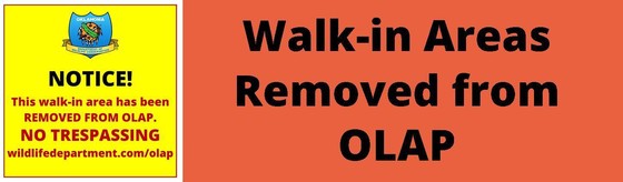
No recent closings.
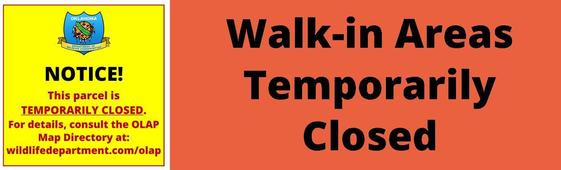
No temporary closings.
 |
|
Use the free ArcGIS Explorer App to bring the OLAP Walk-in Areas to your mobile device (data signal required). Once the app is installed on your device, search the Maps for "OLAP" and select the ODWC OLAP Web Map".
Click below to download the ArcGIS Explorer App on your Apple or Android mobile device.
CLICK HERE FOR APPLE DEVICES
CLICK HERE FOR ANDROID DEVICES
Digital maps can be accessed via browser and/or the Explorer mobile app. Direct link to online maps.
You can also visit the OLAP webpage to downloaded updated PDF maps. The link to the PDFs is under the "maps" tab (scroll down). Direct link to PDF maps.
|
|