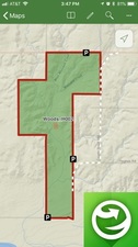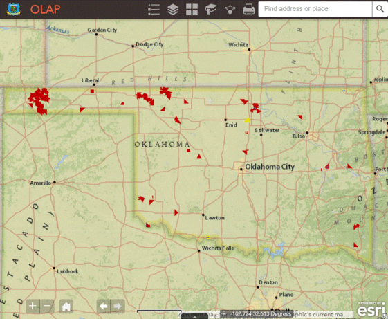
Please note that the only accurate digital mapping service available for the OLAP is the OLAP Map Directory administered by the ODWC and accessed via the OLAP webpage and/or Explorer app.
Third-party apps, such as OnXHunt and Basemap, are not up to date and display incomplete information. Information on walk-in areas can be weeks out of date.
Sportspersons are strongly advised to use the OLAP Map Directory as a primary source of information for Walk-in Areas.
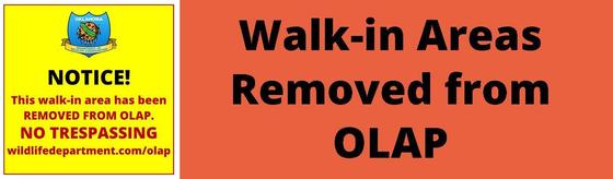
 Logan_H006 and Payne_H001 have been removed from the OLAP, effective immediately.
Safety zones have been updated for Kay County Walk-in Areas.
Reminder: Hunting is prohibited in safety zones and within 200 yards of any dwelling. Please remember to not block public roads or drives. Area-specific information for alerts and parking areas are available by clicking on the icon in the digital OLAP Web Map.
 |
|
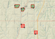
Logan_H006
Payne_H001
Removed from OLAP effective immediately.
|
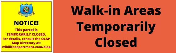 No Walk-in Areas are currently Temporarily Closed.
|