Your Parks, Your Future
Vision Chapter Available for Review
The draft of the Vision Chapter of the System Plan is now available for review and comment at YourParksYourFuture.com.
The goal of the Vision Chapter is to establish and define the community’s aspirations for the Parks, Recreation and Cultural Resources Department. This document reflects the public input received from the entire System Plan process.
The Vision is meant to set the framework for the next part of the System Plan, the Implementation and Action Plan.
|
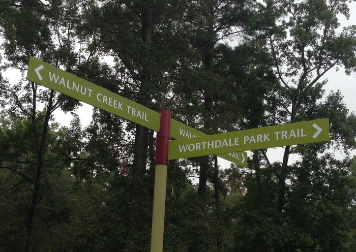
 Phase One of Walnut Creek Trail Extension Project Open!
The Walnut Creek Trail has officially gotten about 2.5 miles longer with the completion of Phase One of the extension project. This section extends from Worthdale Park, past the softball complex and just beyond the 440 underpass, where it ties to the connection to the amphitheater.
Phase two is still under construction, with bridge and boardwalk work to complete. We are cautiously optimistic that this section, which connects to the Neuse River Trail, will be complete by the end of the year.
|
 Looking for Greenway Maps?
With over 100 miles of trails, knowing where you are isn't always easy. There are several map resources available to help you navigate.
There is the hard copy map of the greenway system, available by email, phone (919-996-3285), and at any community center. A PDF of the map is also available here.
Online resources are also available. Here is an ArcGIS map or to create your own; other data is available at Raleigh's Geoportal for download here.
RGreenway is an independent App available for your mobile devices. More information is available here.
|
Honeycutt Trail Moving Forward
The section of the Honeycutt Creek Trail from Newton Road to Honeycutt Park is currently under construction. This section has been cleared and the boardwalk and retaining walls are being installed. Construction on the section from Honeycutt Park to Raven Ridge Road is expected to begin December 1st. The 5.6 mile project is anticipated to be completed by May 1, 2014.
Clearing and grading on the Crabtree Creek Trail Extension Project is underway. This project will extend the exisitng trail 4.1 miles, from Milburnie Road to the Neuse River Trail. It is expected to be complete by late Summer 2014.
Lake Johnson Boardwalk Repair Project
A section of the Lake Johnson Trail (east loop) at Lake Johnson Park is expected to be closed from December 1st through January 31, 2014. The boardwalk that crosses the lake is scheduled to be repaired. This is the boardwalk adjacent to Avent Ferry Road. Trail users will not be able to make a continuous loop around Lake Johnson’s East Loop trail. Parking and access will not be restricted from the available parking lots. Project updates and schedules will be provided as this project moves forward.
Trail Closures and Alerts
Trail closures are listed below. Please visit the Park Status Page for updated closures of all Parks and Recreation Facilities.
Neuse River Trail Closure
The Neuse River Trail will be closed just west of the Auburn-Knightdale Road Bridge November 6-8 due to a Public Utilities forcemain project adjacent to the trail. Another closure for pipe installation is anticipated beginning December 2nd through February 2014. The parking lot at Auburn-Knightdale Road will remain open.
Crabtree Creek Trail Closure
The trail will be closed between N. Raleigh Blvd. and Crabtree Blvd. through December 15th and between Crabtree Blvd. and Milburnie Ave. through November 15th for the Public Utilities Crabtree Creek Basin Waste Water System Improvement Project.
Marsh Creek Trail
The Marsh Creek trail that runs through Brentwood Park, from Ingram Drive to Glenraven Drive is expected to be closed through December 31st for public utilities work.
|