NEWS RELEASE
FOR IMMEDIATE RELEASE:
May 18, 2022
CONTACT: Julie Marinucci, Land & Minerals Director
218-471-7885
New online map shows St. Louis County roads closed by flooding
St. Louis County GIS staff have created an online map that shows all county roads currently closed due to flooding. This includes roads maintained by the Public Works Department as well as forest management roads maintained by the Land & Minerals Department. The interactive map can be found online at stlouiscountymn.gov/roadclosures.
"Our forest management roads are not heavily traveled, so when one is damaged by flooding, very few people are affected," said Julie Marinucci, St. Louis County Land & Minerals Director. "But at the same time, with fishing season now open and many cabin owners returning to their property after the long winter, we'd hate for them to travel to here and then belatedly learn that they can't get to their property due to a washout."
The online map includes details about the location and cause of the closure, along with department phone numbers people can contact for more information.
###
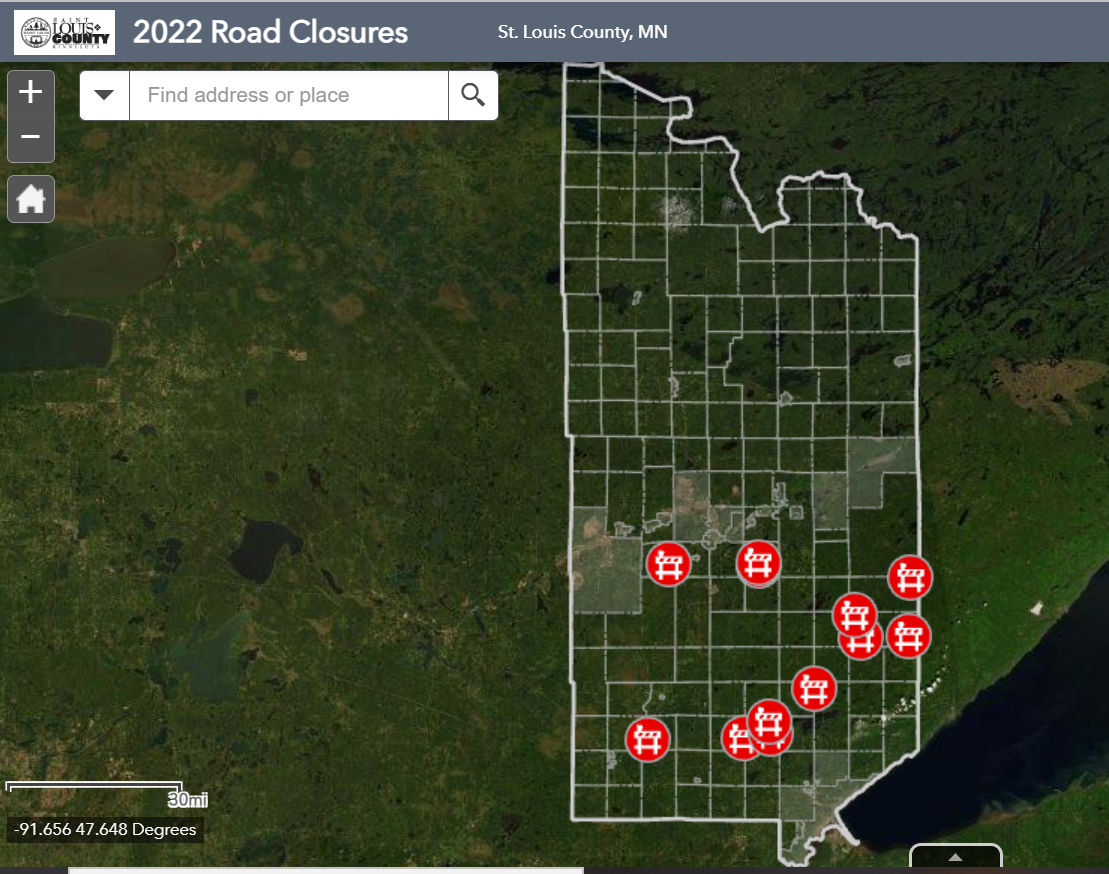 Visit stlouiscountymn.gov/roadclosures for up-to-date information on county roads and forest management roads currently closed due to flooding or damage caused by high water.
|