|
December, 2023
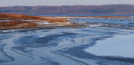 First ice of winter
WHAF News December 2023
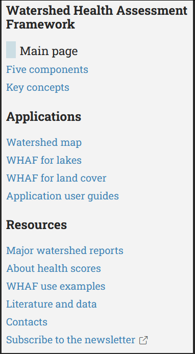
Find exactly what you need on the WHAF website using our new navigation. This updated navigation panel is found on the left side of each webpage to make it easy to move between topic areas.
The Framework: Get an overview of our approach, dive into the five component framework and read about our key concepts.
Applications: Use a direct link to open our three online applications; Watershed Map, WHAF for Lakes, WHAF for Land Cover. Review the Application Use Guides and training videos to help you get started.
Resources: View or download our suite of major watershed reports, read the details behind each health score, find data and literature resources.
This new approach is designed to be more intuitive as you search for WHAF resources that support a range of project needs.
|
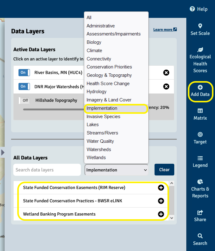
The WHAF Watershed Map now includes data layers showing some of our natural resource management actions. The data is found under the 'Implementation' category in our Add Data panel. Working with partners, we have added these three data resources managed by the Board of Water and Soil Resources (BWSR):
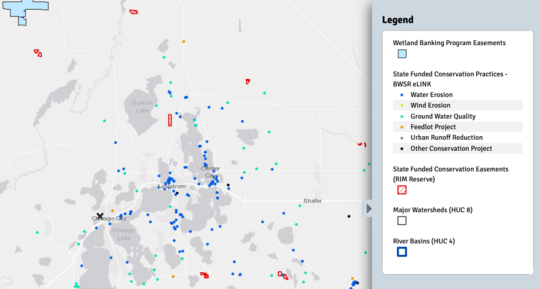
BWSR eLINK - Point locations of Best Management Practices (BMPs) implemented from 2003 to present, using a range of state funded grants including general funds, clean water funds and well sealing grants.
Reinvest in Minnesota (RIM) Reserve Easements - Approximate boundaries of State of Minnesota permanent conservation easements from 1986 to present, protecting restored wetlands, native grassland habitat complexes and permanent riparian buffers.
Wetland Banking Program Easements - Approximate boundaries of lands protected by conservation easements associated with the State’s wetland banking program. These protected lands are primarily privately-owned and not accessible to the public without landowner permission.
Open the Add Data panel to filter and find the new implementation data.
To learn more about the management actions included in each of these data layers, or to download the data, visit our alphabetized GIS Data Sources page:
This map shows the new implementation data displayed near Chisago City.
Ready to interact with this new data? Click to open the map above. Open the Legend panel to see the symbology and use the Add Data panel to select a layer and then click a related symbol for site information (step by step instructions here).
While this is a good start for viewing resource management actions taken in our watersheds, we want to add more data to the 'Implementation' category soon. The DNR and partner agencies are working hard to implement other restorative actions that are improving the health of our watersheds. Check back soon to see a more complete picture.
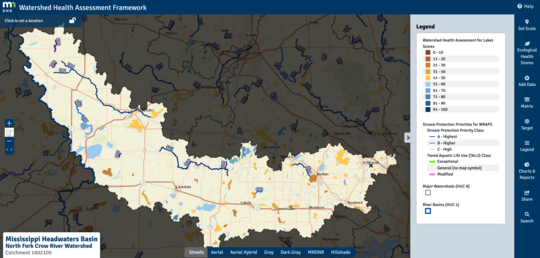
Streams in Minnesota have been prioritized for protection by resource agencies working together. Every year the WHAF Team partners with Minnesota Pollution Control Agency (MPCA) to update the Stream Protection Priorities data layer based on the most recent stream monitoring and assessments. This data layer informs the Watershed Restoration and Protection Strategies (WRAPS) being implemented in each of Minnesota's major watersheds.
The WHAF Team and Lake Ecology Unit in the DNR also released a new application called WHAF For Lakes. In addition to exploring lake health in the app, you can also add the Health Assessments for Lakes data layer into our main Watershed Map application.
The map below shows the Stream Protection Priorities and Lake Health Assessments in the North Fork Crow River Watershed. Viewing these data in the watershed map easily connects your exploration to WHAF Health Scores and other data layers. Open the map to explore this watershed, or click a new location to see some of the challenges and opportunities facing your favorite streams and lakes.
|