News and Information
The Maine Geological Survey is pleased to announce the release of a new bedrock map, Bedrock Geology of the Union quadrangle, Maine, a collaborative effort by Prof. Stephen Norton (U Maine), MGS geologist Henry Berry, and Prof. David West (Middlebury College). The new map displays the detailed distribution of igneous and metamorphic bedrock units and their structural relationships. Rocks of sedimentary and volcanic origin from Precambrian to Silurian age have been transformed by heat and pressure into metamorphic rocks, and in some cases partially melted. An obscure ancient fault marks the boundary between the coastal geology of the Camden Hills area to the east, and the more subdued geology of adjacent areas to the west. Metamorphism, mineralization, and granite intrusion affected the area during the Acadian orogeny, between 380 and 420 million years ago.
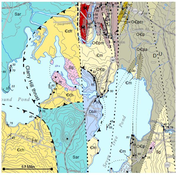 A section of the new MGS bedrock map of the Union quadrangle, Maine.
Bedrock maps provide a basic information source that can contribute to understanding groundwater quality, groundwater flow and contaminant transport, soil chemistry, distribution of mineral resources, engineering properties relevant to construction projects, and the history of the earth.
|