|
|
October 2025 | Land Trust eNews
|
|
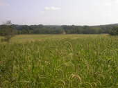
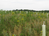
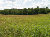
Maryland Environmental Trust Spotlight |
|
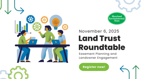 Register Now for the Next Land Trust Roundtable
Join MET for our next Land Trust Roundtable on November 6, 2025. This Roundtable will provide an overview of MET’s easement review process, as well as interactive mapping tools that can be used to analyze parcels, identify lands with high conservation value and build out the Deed of Easement’s conservation attributes. The Roundtable will also explore opportunities to collaborate on future conservation projects, joint outreach and more. Participants are encouraged to bring their questions and experiences to share.
This event is free to Maryland land trusts and MET's conservation partners. Registration is required. Please RSVP by COB on October 30, 2025.
|
|
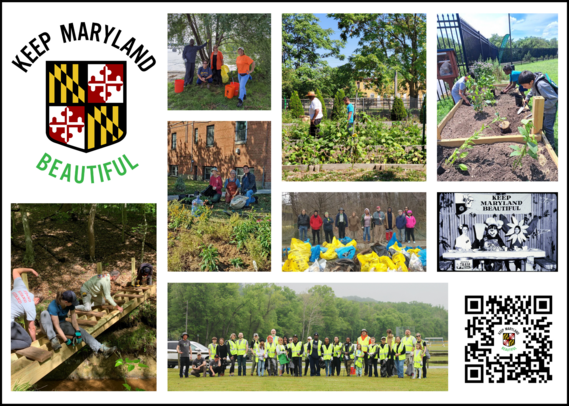 Keep Maryland Beautiful Grant Program Includes Assistance Grants for Maryland’s Land Trusts
The Maryland Departments of Natural Resources, Transportation, and Agriculture, along with the Chesapeake Bay Trust, are partnering to accept applications for this year’s Keep Maryland Beautiful Grants program. These grants are offered annually to support environmental education projects, community stewardship, and the protection of natural resources in urban and rural areas.
Applications for funding will be accepted through December 1. Keep Maryland Beautiful grants include: community stewardship grants for volunteer groups, nonprofits, local governments, and schools; assistance grants for Maryland’s land trusts; and grants for nonprofits to implement forestry projects on agricultural land.
Also, don't forget to nominate a representative from your land trust or another Maryland land trust for the 2026 Aileen Hughes Award! The Aileen Hughes Award is presented annually to an individual representing a Maryland land trust who has demonstrated outstanding leadership in land conservation -- including, but not limited to, executive directors, program staff, and board members. Funding is awarded to a land trust on behalf of an individual and their good work, rather than to the individual themselves.
|
|
Greenspace Equity Grants Available for Communities to Provide Outdoor Access for All Marylanders
The Maryland Department of Natural Resources is now accepting grant proposals for the FY 2027 Greenspace Equity Program, which provides funding to land trusts, nongovernmental organizations, and local governments to acquire and develop public greenspaces in overburdened and underserved communities.
The goal of the Greenspace Equity Program is to preserve, create, and improve public greenspaces that enhance the public health and livability of overburdened and underserved communities. Applications are due by 3:00pm on Wednesday, January 14, 2026. Learn more.
|
|
|
The What, How and Why of Drones for Land Trusts
November 6 | Registration Fee
Has your land trust thought about using drones for monitoring, baseline documentation or current conditions reports, but you aren’t sure where to start? Whether the hurdle is understanding how drone photography works or deciding how to budget, this webinar is for you. Learn more.
Yes, Your ArcGIS License Can Do That
November 19 | Registration Fee
GIS has become an integral part of land conservation, providing a key method to organize and present geospatial data. Whether your organization currently has an ArcGIS license or is considering one, you probably want to know how to make the most out of the product. What features will best support your land management, landscape conservation and community-based conservation work? Learn more.
Practical Pointers
Online | Membership may be required
The Land Trust Alliance's Practical Pointer Series The Practical Pointer Series contain practical tips to help land trusts stay informed and navigate the risks associated with specific legal challenges in land conservation. Topics range from mortgage subordination to managing neighbor disputes. Learn more.
|
|
Tools, Tech and Tutorials |
|
 Maryland Geological Survey: Ask an Expert
If you have questions specific to Maryland geology, groundwater, earthquakes, aquifer water quality, oil and natural gas, fossils, dinosaurs, minerals, and so on, please refer to MGS staff member list. If you don't know where to start, contact the MGS education specialist and they'll get you to the right person.
|
 Parcel Data and Mapping
The Parcel Data & Mapping (PDM) unit, under the Maryland Department of Planning, maps tax assessment account locations for the State of Maryland. The PDM unit produces paper and digital tax assessment maps for Maryland's 23 counties. Also, data is published for use in both interactive web applications and desktop software.
|
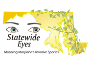 Statewide Eyes
The Maryland Natural Heritage Program designed Statewide Eyes to allow volunteers and researchers alike to collect more information about invasive plants on state lands quickly. Using the free MAEDN mobile app, users can photograph and map the location of invasive plants, focusing on ecologically significant sites.
|
|
Share Your News
If you would like to share relevant conservation news, success stories, announcements or events with Maryland's land trusts and conservation partners through this publication, please contact Michelle Grafton by the first of each month at michelle.grafton@maryland.gov.
|
|
|
|
|