|
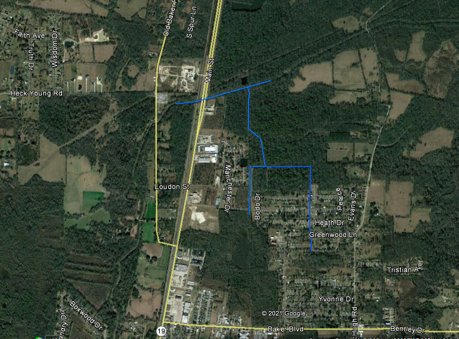
Surveying Begins tomorrow around the North Canal Area in Baker for federal HMGP flood mitigation program - if you live around the North Canal area (see picture below for information) you may see surveyors in your area or may have surveyors requiring access to your property if your home is adjacent to the canal.
Surveying and mapping plays prominent roles before, during and after flooding. this is to ascertain vulnerable areas or places that may be affected in any flooding event and the data collected is used to determine the best means to manage large volumes of water in the future.
There are several types of surveying utilized which engineers construct Digital Elevation Models (DEM) with. Examples of what you may see are:
Traditional land surveying methods of mapping to produce topographic map. Contour from such map can be used to generate DEM.
Photogrammetric Techniques - DEM can be derived from contours that are extracted with photogrammetric techniques from aerial stereo photographs but currently digital photogrammetric software is being used.
Satellite Methods - DEMs can be generated from optical satellite images using any elevation extraction methods. Programs are now available in MATLAB and similar programming languages for the extraction of DEMs. SPOT, a remote sensing satellite
Any surveyor that is operating in conjunction with the City of Baker will have a letter from the City granting them the authority to complete their surveys.
Should you have any questions please feel free to contact the HMGP Grant administrator Rebecca Bond at 225.364.6041
|