|
|
 Having trouble viewing this email? View it as a Web page. Having trouble viewing this email? View it as a Web page.

Weather Alert Update: 03/24/2021 - Flash Flood Watch
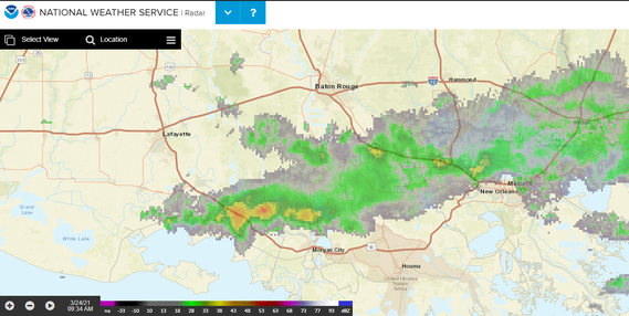
The National Weather Service in New Orleans LA at 4:44 AM CDT Wed Mar 24 2021 has continued the Flash Flood Watch for East Baton Rouge Parish.
A slow-moving cold front has stalled near the Louisiana coast. It will lift northward as a warm front tonight. A secondary cold front will move into the area on Thursday. The second cold front will finally push through late Thursday. Additional rounds of moderate to heavy rain are expected to produce an additional 1 to 3 inches.
Locally higher amounts will be possible.
Through Thursday evening:
- Multiple rounds of moderate to heavy rain are expected across southeast Louisiana as well as southwestern and coastal MS. Mississippi. This could lead to flash flooding.
- Flooding of low lying and flood prone areas is possible with localized flash flooding.
PRECAUTIONARY/PREPAREDNESS ACTIONS:
- Do not enter or cross flowing water or water of unknown depth.
- Stay away or be swept away. River banks and culverts can become unstable and unsafe.
###
|
|
|
|
