KY Highway Water Over Road Report for District 1 Includes Several Major Highways
Update at 12:10 p.m., CST, adds closure of U.S. 51 South in Hickman County
and tornado response effort
PADUCAH, Ky. (March 3, 2023) – Kentucky Transportation Cabinet (KYTC) crews across the 12 District 1 counties are continuing to make rounds this morning placing signage to alert motorists to water over the roadway.
These highways are on the more extensive list below, but they are worth noting since they are major travel routes:
U.S. 62
Closed at the 10mm in Carlisle County at Wilson Creek between Cunningham and Lovelaceville
Closed at the 4 to 6mm in West Fork Creek Bottoms west of the KY 121 4-Way Stop
U.S. 51
Closed at the 10 to 13mm north of Clinton between KY 1540 and KY 288
Closed at the 2 to 3mm south of Clintonn between KY 1529 and KY 1070
Tornado Damage
We have reports of downed trees and power lines in the Fremont area of southern McCracken County. KYTC District 1 is coordinating with emergency management, utility crews, and law enforcement to clear roadways as quickly as possible to provide emergency access.
Motorists are advised to use caution and be alert for rising floodwaters through the afternoon.
Here is our Water Over Road Report for this hour:
Ballard County
U.S. 62 has Water Over Road Signs posted at the 1 to 2mm at Lovelaceville with one-lane traffic alternating flow controlled by flaggers - KYTC personnel on site
Carlisle County
KY 80 West is closed at 2.8mm in Arlington just west of U.S. 51 - Signs Posted
KY 307 is 0PEN near the 7mm between KY 121 and U.S. 62
U.S. 62 is CLOSED at the 4 to 6mm in West Fork Creek Bottoms just West of the KY 121 4-Way Stop with barricades posted - KYTC personnel on site monitoring
U.S. 62 is CLOSED at the 10mm in the Wilson Creek area between Cunningham and Lovelaceville
Crittenden County
KY 855 is CLOSED at the 5mm North of Frances at Doan Springs Creek between KY 70 and U.S. 60 - Signs Posted
KY 902 is CLOSED at the 5mm in the Dry Fork Creek area near the Crittenden-Caldwell County Line between Dycusburg and Fredonia -Signs Posted
Fulton County
KY 94 is closed at the 7 to 11mm in the Lower Bottom "Dip" Area between KY 311 and KY 1099 - Signs Posted
KY 94 has Water Over Road signs posted at the 23-26mm in Willingham Bottom between KY 1907 and KY 1125
KY 1907 has Water Over Road signs posted between KY 94 and KY 781 (All)
The City of Fulton reports Lake Street is flooded in the downtown area
Hickman County
KY 307 is closed at the 13 to 14mm in the Obion Creek area between KY 703 and KY KY 1748 - Signs Posted
KY 58 is closed at the 7 to 8mm between KY 1540 and KY 1475 in the Cane Creek area - Signs Posted
KY 80 is closed at the 2 to 3mm between KY 123 and the Hickman-Carlisle Co. Line - Signs Posted
KY 2206/Spring Hill Rd is closed at the 0 to 1mm north of KY 703 near Cane Creek Bridge - Signs Posted
KY 123 is closed at the 14 to 16mm in the Hailwell Corner Area Near Obion Creek Bridge - Signs posted
US 51 is closed at the 10 to 13mm north of Clinton between KY 1540 and KY 288
Livingston County
KY 453/Iuka Rd has Water Over Road signs posted at the 9mm just south of KY 1889/Heater Store Rd
KY 937/Cutoff Rd has Water Over Road signs posted at the 2mm
KY 1433/Cedar Grove Rd has Water Over Road signs posted at the 4 to 5mm between Lemon Landing Rd and Head Rd
KY 133/Lola Road has Water Over Road signs posted at the 6 to 8 mm near Lick Skillet Road and Wright Road
KY 135/Carrsville Rd has Water Over Road signs posted at 6mm near Peck Branch at the Qutermous Rd intersection
Lyon County
KY 1943 is closed at the 3.4mm at the Skinframe Creek Bridge
McCracken County
KY 1255/Bonds Road is closed at the 1 to 2mm just west of the KY 450/Oaks Rd intersection
KY 994/Old Mayfield Road is closed at 5.5 to 5.7mm at the KY 1410/Houser Road intersection
KY 1410/Houser Road is closed near Champion Creek from 3.2 to 3.7mm near the KY 994/Old Mayfield Road intersection
KY 1565 is closed from the 4.6 to 6.3mm between U.S. 60 and KY 358 in West Paducah - Signs Posted
KY 996 is closed between KY 3520/Old U.S. 60 and KY 726/McKendree Church Road - signs posted
KY 3529/Maxon Road (South End) is closed between U.S. 60 and KY 3520/Old U.S. 60 - Signs Posted
KY 131 has Water Over Road signs posted at the 0 to 1mm at the McCracken-Graves County Line
U.S. 60 has Water Over Road signs posted from KY 994/Old Mayfield Road extending westward to U.S. 45/Joe Clifton Drive in Paducah
Marshall County
KY 1949/Wadesboro Road is closed at the 7 to 9 mile marker near the I-69 Tunnel - Signs Posted
KY 1462/Benton-Birmingham Rd is closed at the 0 to 2mm at the Clarks River Bridge- Signs Posted
KY 795/Scale Road has Water Over the Road
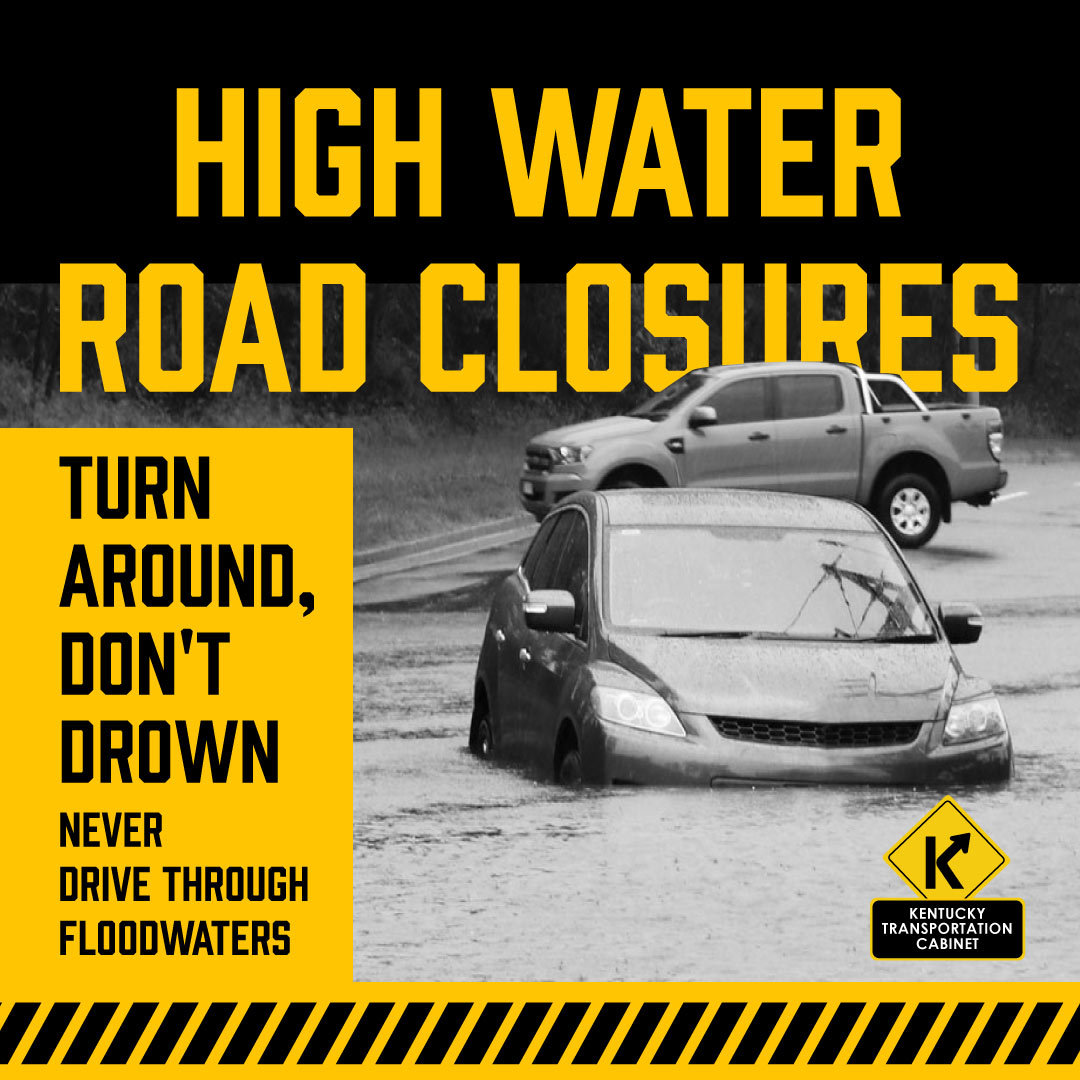
Please be on alert. If you encounter a flooded roadway, please take note of the specific location using a mile marker, address, nearby crossroad, or other landmark and report it to your local 911 call center. Remember, Turn Around - Don't Drown.
Updates as they become available.
To get traffic advisories and alerts for KYTC District 1 counties via email please go to https://public.govdelivery.com/accounts/KYTC/signup/13651. Click on the District 1 counties you regularly drive through, or on any of the specialty corridors you travel. Check your SPAM filtering to assure Gov Delivery is on your approved list.
Timely traffic advisories for the 12 counties of KYTC Highway District 1 are available by going to www.facebook.com/kytcdistrict1. You do not have to be a Facebook member to access this page.
Navigate traffic at goky.ky.gov, at waze.com, or with the WAZE App.
###
|