Flooding Concerns Continue Across Kent County Rivers; Residents Urged to Stay Alert and Use Caution
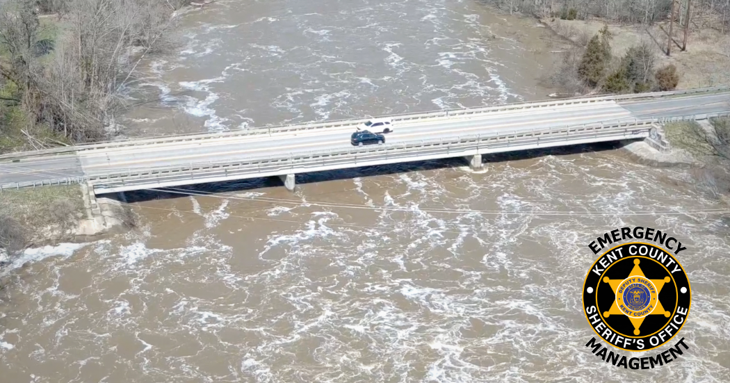
Kent County, Mich. (April 17, 2026) - Kent County Emergency Management, with the Emergency Operations Center currently active, continues to closely monitor elevated river levels following multiple rounds of heavy rainfall across the region. Flood warnings remain in effect for both the Grand River and Thornapple River, and an additional half inch of rain is expected late tonight, which may prolong elevated water conditions.
In Kent County, the Grand River near Comstock Park remains a primary area of concern. As of 10:39 a.m. Friday, the river stage measured 13.3 feet, above the flood stage of 12.0 feet. The river is forecast to crest at approximately 16.1 feet by Monday morning, reaching major flood stage levels. This crest is comparable to the April 8, 2023 flood event. At these levels, impacts may include flooded basements along Willow Drive, Abrigador Trail, and Riverbank Street, potential road closures including Konkle Drive, and possible major flooding affecting approximately 100 homes if levels reach 16.0 feet.
Further downstream, the Grand River at Grand Rapids is also expected to reach flood stage. As of 10:00 a.m. Friday, the river stage was 15.4 feet, with flood stage at 18.0 feet. The river is forecast to crest at approximately 19.0 feet early Monday afternoon, which may result in minor basement flooding in low-lying areas within the City of Grand Rapids. These elevated levels may also contribute to impacts on tributaries such as Buck Creek, where localized flooding could occur in vulnerable areas.
Flood warnings have also been extended for the Thornapple River near Caledonia. As of 10:45 a.m. Friday, the river stage was 9.7 feet, approaching its flood stage of 10.0 feet. The river is expected to rise above flood stage this evening and crest at approximately 10.5 feet Sunday morning, resulting in minor flooding in low-lying areas. The river is forecast to fall below flood stage early Tuesday morning. This crest is comparable to levels observed in December 2008.
“While this event is not expected to reach the most severe levels we have seen historically, it is still capable of causing significant impacts in flood-prone areas,” said Scott Corbin, Emergency Management Coordinator. “We are asking residents to report any damage as waters recede so we can accurately assess impacts across the county and ensure we are positioned to pursue any available state or federal assistance if thresholds are met.”
Residents are encouraged to report any flood-related damage using the Self-Reporting Survey. Officials continue to urge the public to never drive through flooded roadways, to obey all barricades and closures, and to avoid fast-moving water.
For additional flood safety information, visit: http://www.weather.gov/safety/flood
|