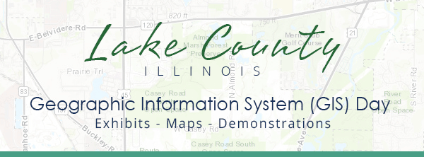
|
Whether you are an expert, occasional user, or are
interested in understanding how you can utilize GIS in your operations, see how
Lake County government is leveraging the latest GIS technology to be more transparent, efficient, and save money.
This is a great opportunity to connect with the County’s
GIS professionals, learn about the latest tools and apps, and ask questions. We encourage you to register, but it's not required.
Topics Include
 Flooding
See how Lake County used inundation maps and other tools to respond to the July flood event.
|
 Mobile GIS
Learn how to easily eliminate paper maps and forms by using mobile GIS.
|
 LiDAR
Learn about a national project that uses previously restricted light detection and ranging technology that is now being made available for government use.
|
 Drone
Learn how to capture imagery and a 3D model with just a few clicks of the mouse and a drone.
|
 Power Maps
See how you can quickly turn hundreds of addresses into a heat or point map using Excel.
|
 Maps Online
Got questions about the County's Maps Online application? Get answers and an overview of this popular tool.
|
If you have any questions leading up to the event, please email the Lake County GIS Division at gis@lakecountyil.gov, or call 847-377-2388.
|