|
|
Planning works best when it starts with good information, strong partnerships, and a clear understanding of local needs. This issue highlights all three, from the 2026 Municipal Survey and new ways to put CMAP data to work, to communities advancing safer streets, accessible infrastructure, downtown development, and climate resilience.
You'll also find opportunities to connect with fellow planners and follow CMAP's work on The Century Plan, our region's long-term vision. As always, if you have a planning project, resource, event, or community success story, please send it my way at msobczak@cmap.illinois.gov. We're always looking for ideas and examples to share with planners and local governments across northeastern Illinois.
|
|
Calling all municipalities: Help CMAP better understand local needs
CMAP’s 2026 Municipal Survey is now open, inviting northeastern Illinois’ 284 municipalities to share their priorities, challenges, and needs. We recognize the time and coordination that goes into completing the survey and really value the expertise our municipal partners bring. Strong participation gives CMAP a more complete picture of the region and helps us better target technical assistance, resources, policy analysis, and other support for communities.
Communities should have received an email from their CMAP staff liaison with information about completing the survey, with a printed survey arriving in the mail shortly after.
The ask: Complete and return the 2026 Municipal Survey by the extended deadline of October 23.
|
|
Midlothian adopts plan to make village streets safer
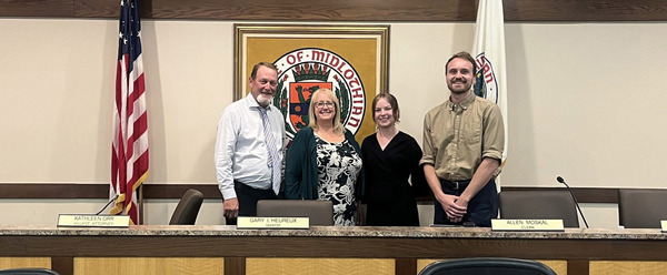
The Village of Midlothian has a new roadmap for reducing traffic deaths and serious injuries. Adopted July 22, the village’s Safety Action Plan was developed in partnership with CMAP and a consultant team using crash data, community input, and proven traffic-safety practices.
The plan identifies where improvements can have the greatest impact. Midlothian’s High Injury Network represents just 5 percent of village roadway miles but accounts for 66 percent of severe crashes, with crashes concentrated along major corridors including 147th Street, Cicero Avenue, Pulaski Road, and Kedzie Avenue.
What's next: The plan identifies priority actions for the next five years, including school-zone improvements, neighborhood greenways, and recommendations for the 147th Street corridor. It uses a Safe System Approach focused on preventing crashes and reducing their severity for everyone who uses the road, especially people walking and biking.
🛑 Read the Midlothian Safety Action Plan
|
|
Bartlett NEXT brings new focus to downtown redevelopment
Through CMAP’s Technical Assistance Program, the Village of Bartlett is taking the next steps toward implementing its Transit-Oriented Development Plan and identifying opportunities for downtown housing and retail development.
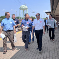
As part of the Bartlett NEXT implementation assistance project, CMAP and the village convened an Urban Land Institute Developer Dialogue this summer. Development experts joined village staff and elected officials, Metra, and the Regional Transportation Authority (now Northern Illinois Transit Authority) for a tour of priority redevelopment sites followed by a discussion of opportunities and challenges.
What they explored: Panelists offered market-based strategies for key sites near the Bartlett Metra station, along with ideas for village-led actions that could help attract new investment downtown. The conversation gives the village another set of tools for moving from long-range planning to implementation.
|
|
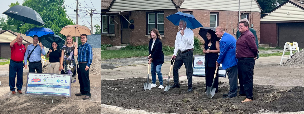
Green infrastructure improvements break ground on Grand Avenue
A project that will transform the Grand Avenue Corridor is now underway in the Village of Franklin Park.
Coming soon: Green infrastructure, new trees, native landscaping, streetscape improvements, enhanced pedestrian connectivity, and infrastructure designed to reduce localized flooding.
The village received about $2 million in American Rescue Plan Act funds from Cook County to implement a project from its climate resiliency plan on Grand Avenue, from Louis Street to 25th Avenue.
📋 The improvements align with recommendations from the Grand Avenue Corridor Plan, which CMAP created with the village through the Technical Assistance Program.
|
|
In McHenry County, planning for growth and open space together
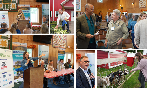
How can northeastern Illinois accommodate growth while protecting the natural places that make the region special? That question brought partners together at Richardson Adventure Farm in Spring Grove for the latest conversation supporting The Century Plan.
Openlands President and CEO Michael Davidson joined panelists Eli Lechter of LJC, Arnold Randall of the Gaylord & Dorothy Donnelley Foundation, Village of Algonquin President Debby Sosine, and Lake County Forest Preserves President Jessica Vealitzek to explore the choices facing communities as the region grows.
Three themes stood out:
-
Natural systems cross borders. Woodlands, wetlands, prairies, waterways, and wildlife do not stop at municipal boundaries. Protecting and connecting them requires coordination among communities, public agencies, foundations, and the private sector.
-
Nature provides tangible benefits. Wetlands manage stormwater, trees absorb carbon, plants support pollinators, and access to nature contributes to quality of life and community resilience.
-
Open space is a regional system. Like housing, transportation, and energy, the region’s network of natural lands requires planning, investment, and long-term stewardship.
Thank you to everyone who joined the conversation, including McHenry County Board Chairman Michael Buehler and CMAP Board Vice Chair Carolyn Schofield, who provided opening remarks.
Keep the conversation going: Learn more about The Century Plan, subscribe to The Century Plan newsletter, and share your vision for northeastern Illinois’ future.
|
|
Open space is an investment in regional competitiveness
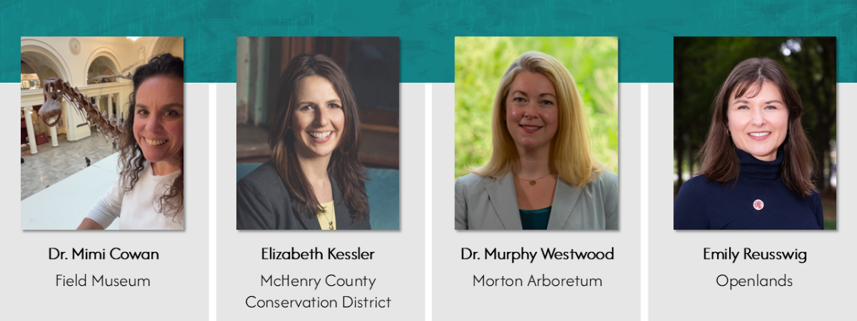
How can northeastern Illinois’ natural assets contribute to a stronger economy and a higher quality of life? Conservation experts explored that question during a panel discussion at CMAP’s September Board meeting.
Panelists highlighted the many ways natural systems support the region: access to nature can help communities attract residents and employers; outdoor recreation contributes to local economies; trees, wetlands, and other natural infrastructure provide benefits that grow over time; and connected landscapes can reduce flooding, strengthen climate resilience, and support tourism.
The conversation included Dr. Mimi Cowan of the Field Museum, Elizabeth Kessler of the McHenry County Conservation District, Dr. Murphy Westwood of The Morton Arboretum, and Emily Reusswig of Openlands.
The big picture: Protecting and expanding northeastern Illinois’ natural assets is about more than conservation. It's also an investment in economic competitiveness, resilience, and quality of life — all important considerations as CMAP develops The Century Plan.
🌳Hear the full conversation
|
|
|
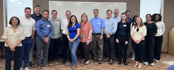
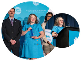
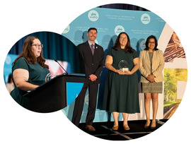
CMAP team members brought lessons from northeastern Illinois to a national audience at the 2026 Association of Metropolitan Planning Organizations (AMPO) Annual Conference in Sacramento, participating in six sessions and panels on accessibility, regional investment, extreme heat, integrated planning, transportation options, and fiscal uncertainty.
|
|
The conference also brought national recognition for CMAP’s work. The Plan of Action for Regional Transit received an honorable mention for AMPO’s Outstanding Overall Achievement award. Senior Policy Analyst Elizabeth Ginsberg received AMPO’s Rising Professional Award for her contributions to transportation finance, long-range planning, strategic foresight, and regional policy. |
|
We used the conference to exchange ideas with metropolitan planning organizations from around the country — sharing approaches developed in northeastern Illinois while bringing home new ideas to strengthen our own planning work. |
|
|
Planning connects transportation, land use, climate, community engagement, and many other pieces that affect how our communities grow and change. CMAP staff members will explore those connections at the American Planning Association Illinois Chapter’s 2026 State Conference, September 30 through October 2 in Evanston.
Find CMAP at sessions throughout the conference:
-
Aspiring for more: Transportation and land use decisions that outlast today’s constraints — Victoria Barrett, Marielle Brown, and Elizabeth Ginsberg
-
The quest for equity: Representing a region in the Regional Transportation Plan — Gabriel Guevara, Prithvi Hedge, and Aspen Walters
-
Breaking the jam: A regional framework for congestion management — Noah Harris and Julie Reschke
-
Rise above: Tackling flood risk with data-driven and community-centered approaches — Kate Evasic
-
Planning for neighborhood- and community-scale energy solutions — Prithvi Hedge
Heading to Evanston? Check out the full APA-IL conference program
|
|
Phase 2 of My Daily Travel hits the road
CMAP has launched the next phase of My Daily Travel, the regional household survey that captures how, when, and where people travel.
Randomly selected households across the seven-county region will receive invitations by mail. Participants can record their travel online, by phone, or through a smartphone app, and households that complete the survey will receive a gift card.
Why it matters: Now through May 2027, CMAP aims to hear from 8,000 households. Their experiences will help guide investments in roads, transit, sidewalks, bicycle networks, and other ways people get around.
Take the survey: If an invitation arrives in your mailbox, please participate. Every response helps ensure households like yours are represented in future transportation decisions.
📫 Learn more about My Daily Travel
📲 What’s Up Wednesday: See our feature on LinkedIn, Instagram, and Facebook.
|
|
Regional ADA Coordinators Group builds a lasting foundation for accessibility
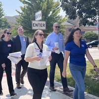
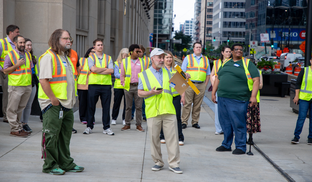
After 12 sessions and nearly two years of learning and collaboration, CMAP’s Regional ADA Coordinators Group wrapped up this summer with an accessibility walking audit near the Old Post Office in downtown Chicago.
From November 2024 through June 2026, the group reached 120 participants and created a space for local ADA coordinators, government professionals, accessibility advocates, and consultants to learn from experts and one another. Sessions covered everything from ADA self-evaluations and transition plans to accessible public engagement, construction, public rights-of-way, websites, and data collection.
Why it matters: Many local ADA coordinators balance accessibility work with other responsibilities — 82 percent of participating coordinators reported holding another position. The group helped connect them with practical tools, guidance, and a network of peers that can continue supporting their work.
The facilitated series has concluded, but CMAP’s accessibility trainings, templates, meeting materials, and other resources remain available to help communities make their programs and infrastructure more accessible.
♿ Explore CMAP’s ADA resources and trainings
|
|
Put Community Data Snapshots to work in your next planning project
Need reliable local data for a plan, presentation, public meeting, or community conversation? CMAP’s Community Data Snapshots bring information on population, housing, employment, land use, transportation, and more together in one place.
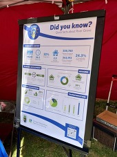
The snapshots are available for all 284 municipalities, 77 Chicago community areas, and 7 counties. Beyond providing data, they can be useful tools for engagement. While preparing outreach materials for a project in River Grove, for example, the team at CMAP used information from the community’s snapshot to create a poster that gave residents something tangible to react to and helped start conversations about local trends.
Put the data to work: Community Data Snapshots can be incorporated into presentations, reports, social media, project websites, grant applications, and other planning and engagement materials.
📈Explore your Community Data Snapshot
|
|
|
|
|