|
Welcome to the Data Update newsletter
The Chicago Metropolitan Agency for Planning (CMAP) created this newsletter to share data resources and tools to help you achieve your goals.
At CMAP, we believe in the power of data and the story it tells. We continuously collaborate with partners to deliver data, analysis, and modeling to keep you informed about important issues, so you can strengthen your communities.
In the first Data Updates newsletter, we’re sharing three sources that cover the county, municipality, and Chicago neighborhood scale. No matter the size of your community, you can use this information to make data-driven decisions.
Do you have something you’d like us to include in a newsletter? Email us at communications@cmap.illinois.gov.
|
|
Data at the community scale |
|
New data can help communities understand their emissions
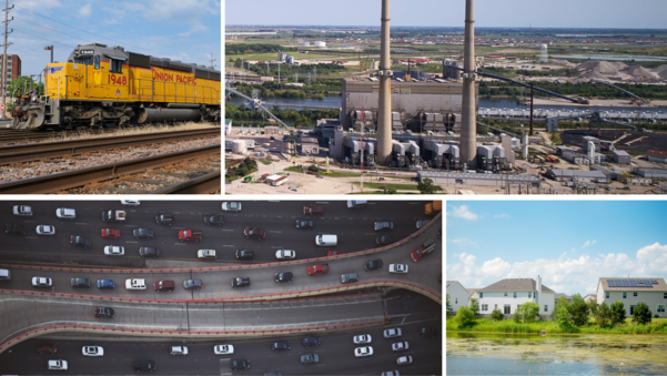
CMAP's newly updated greenhouse gas emissions inventory shows that between 2010 and 2019, overall emissions in northeastern Illinois decreased by 9 percent — or about 1 percent each year.
While this is progress, the region has a shared goal of reducing emissions by 80 percent (from 2005 levels) by 2050 — and this puts us 71 percent short of where we hoped to be. To achieve our goal, we need to reduce emissions by 5 percent annually.
To help the region's communities take action, CMAP, for the first time, also released individualized data summaries by county, municipality, and Chicago neighborhood. This data provides a snapshot of emissions from the building, transportation, and waste sectors. Local governments, sustainability committees, and others are encouraged to use this information to develop local climate action plans.
|
|
Community Data Snapshots offer rich resource for northeastern Illinois
CMAP's 2022 Community Data Snapshots can help local leaders, community organizations, and others plan and make informed decisions in their communities.
These data-rich snapshots — for each of the region’s 284 municipalities, 77 Chicago neighborhoods, and 7 counties — summarize demographic, housing, employment, transportation, land use, revenue, and water information.
The Community Data Snapshots include original CMAP data to help communities implement recommendations from ON TO 2050, the region’s long-range plan.
|
|
New tree canopy reports available for region and its communities
The Chicago Region Trees Initiative updated its municipal canopy summaries for northeastern Illinois and all the region's communities. The summary reports include canopy cover, plantable space, and land use, as well as the quantifiable benefits trees provide.
|
|
|
|