Hurricane Ian 11 a.m. Update
Hurricane Ian Wednesday (9/28) 11 a.m. Update:
Hurricane Ian is expected to make landfall near Englewood later today as a Cat 4, possibly Cat 5 hurricane. Catastrophic damage is expected in southwest Florida.
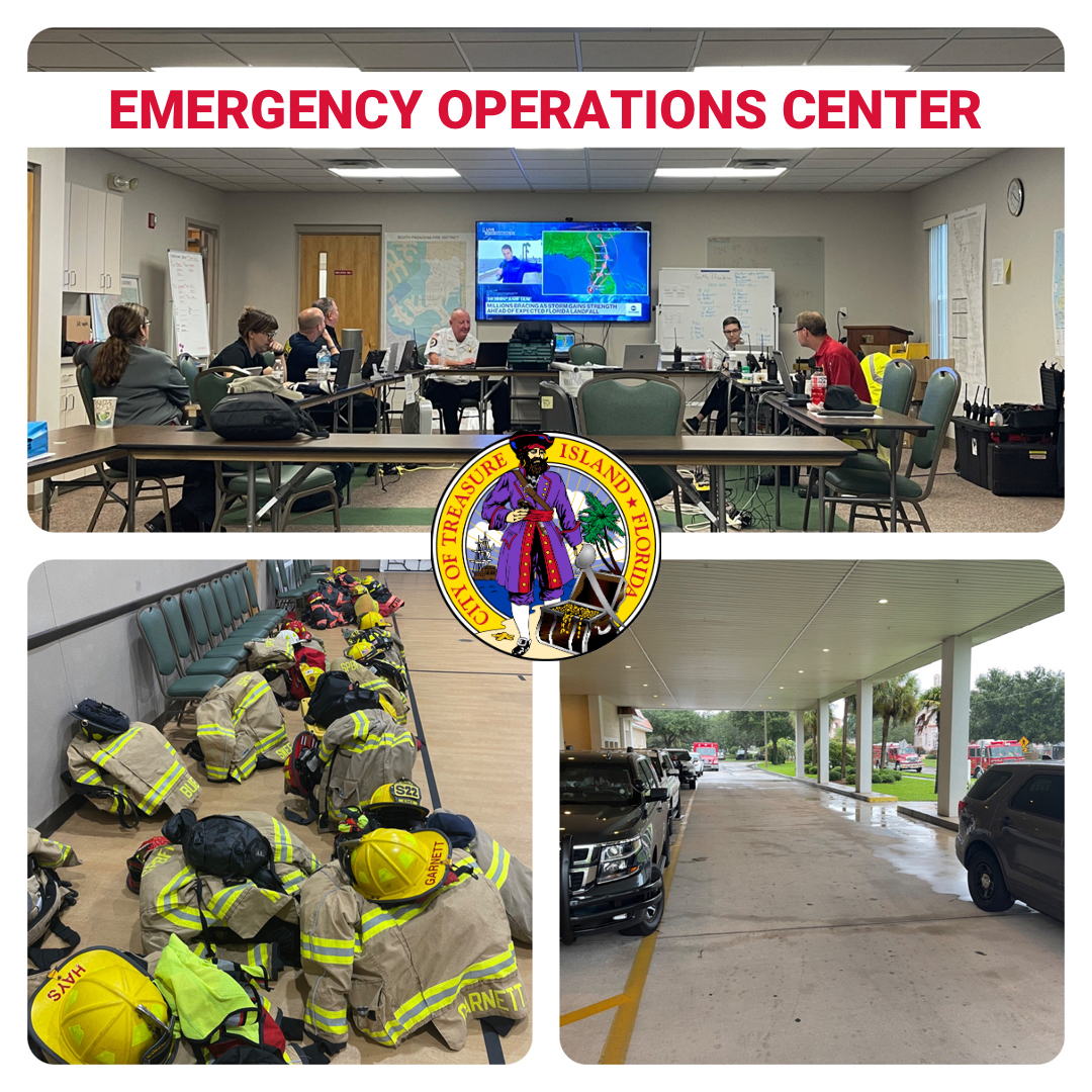
Now is not the time to let your guard down! Continue to shelter in place. City officials and emergency personnel will continue manning the Emergency Operations Center throughout the day and night.
Conditions in our area will continue to deteriorate throughout the day. We can expect substantial winds and up to 15 inches of rain.
With our area already saturated from the rainy season, winds could possibly bring down power poles and trees.
- Don’t drive or walk through flooded waters - A mere 6 inches of fast-moving flood water can knock over an adult. It takes just 12 inches of rushing water to carry away most cars and just 2 feet of rushing water can carry away SUVs and trucks.
- Avoid downed power lines and standing water.
Follow city updates: bit.ly/COTIHurricaneIanUpdates
National Hurricane Center updates: https://www.nhc.noaa.gov/
|