|
Controlling noxious weed growth in Weld County and providing yearly reports to the Colorado Department of Agriculture has become easier thanks to technology and work of the Graphic Information Systems (GIS) Division.
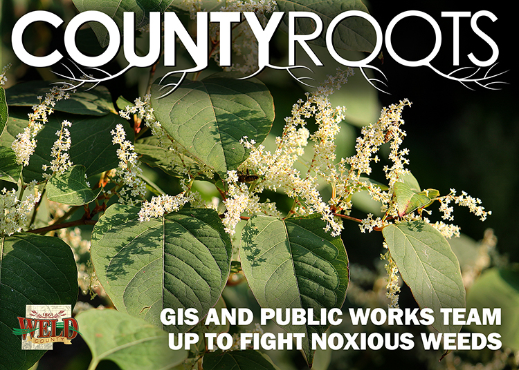
Noxious weeds are classified as weeds not native to Colorado or the U.S. that are very invasive and fast spreading without human assistance. They can displace vegetation and certain weeds can be toxic to humans and livestock. As required by state law and the Weld County Code, the Department of Public Works’ Weed Division is tasked with preventing, suppressing or eradicating noxious weeds on county roadways and around county property and facilities. Doing so effectively requires Weld County’s Weed Division staff to identify and inventory noxious weed growth throughout the county, while educating private landowners on how to eradicate or suppress noxious weed growth on their own property.
After years of keeping noxious weed inventory by pen and paper and using software that made it difficult to create and send required reports to the state of Colorado, Weld County Weed Division Supervisor Tina Booton approached GIS looking for a way to create an all-around better inventory system.
“She wanted to have the process and the data formatted so that it was ready to be uploaded (to the state). She wanted a system that was simple and intuitive to learn by field staff and wanted standardization of data entry,” GIS Analyst Sam Gould said, explaining that previous record keeping methods led to inconsistencies in spelling or weed identification. “She wanted to see if we could improve the data entry process and make it easier.”
GIS configured several tools and applications through its software developer Esri — or the Environmental Systems Research Institute — to provide for easier tracking and recording of noxious weed growth throughout Weld County. The GIS applications are available to Booton and the Weed Division staff through an iPad and desktop browser. The field collection application provides a simplified approach to collecting information, resulting in a better reporting process. Staff can easily see where noxious weeds have been found and see a quick overview of the entire county. New problem areas can also easily be marked and recorded by using a pin drop feature in the software. Important information can be provided in each pin drop, including the date of the report, the species of noxious weed found, the total acreage of land affected and more. A picture of noxious weeds can also be added to make the report even more complete. Once the information is saved, it is stored on the individual device and then synced to the application after the device is connected to the internet. This allows others who log into the application to see and examine updated information.
If noxious weeds are found on someone’s property, the application also allows for those in the field to quickly identify the registered owner of the property. This saves Booton time trying to locate property owners through the Assessor’s Office or property portal. The faster Booton can contact the landowners, the faster the landowner can work with the Weed Division to correct the problem.
Additionally, information can be easily organized and sent to the state in September when the county’s noxious weed inventory is due — a huge time-saver for Booton when compared to writing or typing reports.
“The Collector mapping system has simplified our work,” Booton said. “When staff are identifying issues in the field, they can quickly see who the owner is and map with enhanced confidence knowing that they are doing so on the correct parcel. Also, the technology creates more consistent reports which can easily be sent to the state. These features enable the Weed Division to save a great amount of time when completing our tasks.”
Chemical and mowing treatments, along with the education provided by landowner compliance agents, have done a good job of stopping the growth of noxious weeds throughout the county. Now, with the help of technology, problems can be identified more accurately, more easily and more quickly than ever before, leading to more effective treatments which protect land, livestock and Weld County residents.
 By Baker Geist, Weld County Communications Specialist
|