|
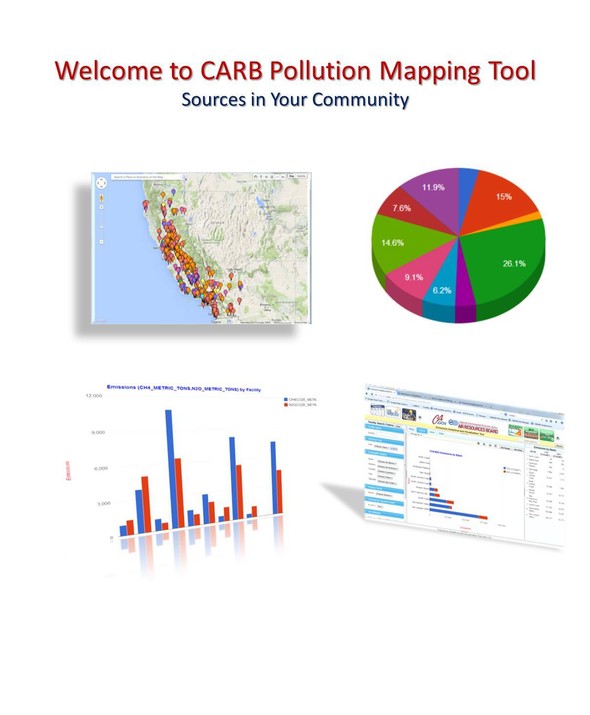
The California Air Resources Board (CARB) has released a test version of the Pollution Mapping Tool (beta version 3.0) that includes emissions data for on-road mobile sources along with emissions from large facilities in California. This version represents another step towards meeting the emission visualization requirements established by Assembly Bill 197 (AB 197, Garcia), which requires CARB to make available on its web site a graphical display of the GHG, criteria, and toxic pollutant emissions from facilities and mobile sources in the state. The beta version of the tool is available.
This version incorporates a new Mobile Emissions tab that maps the criteria, toxics, and greenhouse gas emissions from on-road vehicles such as cars, trucks and buses. The Mobile Emissions default display presents vehicular emissions as a heat map in which the magnitude of the emissions is represented by different color (and different size) dots centered on a 1 km x 1 km grid; however, the tool allows users to zoom-in and view numerical emission summaries for user-defined areas that may range from a few to thousands of grid cells. Users can choose the shape and the size of the area to be summarized by using the Mapping Tool’s spatial calculator toolbar, which allows the user to select an area by drawing a circle, rectangle, or user-defined polygon. This feature allows users to view and compare the emission summaries and trends for the stationary sources (facilities) and mobile sources within the selected shape.
This beta release is intended as an opportunity to get public input as we prepare further refinements for the widespread release of version 3.0 in 2021. Please take some time to try out the test version and make sure the things that are important to you are working. If you find any data quality issues or experience any functionality problems, please report them to pollution_map@arb.ca.gov. We would appreciate receiving your feedback as we work on revisions for the version 3.0 widespread release.
Thank you for your continued support in the development of this important public information tool.
|