|
|
SERVICES. RESOURCES. COMMUNITY.
|
|
|
programs and resources to clear vegetation and other flammable materials to create buffer zones that make your property more resilient to wildfire.
 Take advantage of seasonal City programs to dispose of excess vegetation, use a checklist to self-inspect your property and, in the highest risk areas, use personalized inspection reports to help guide you on how to create buffer zones – which vary in size depending on your particular threat of wildfire
Creating buffer zones not only help prevent wildfire spread but also gives firefighters defensible space to better protect your home.
This defensible space – which should be at least 5 feet around a home anywhere in Berkeley – can be created by regularly removing dead plants, leaves, and other flammable materials from around a property. Trim and properly space trees and plants.
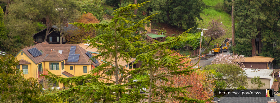
Residents in Hill Zones 2 and 3 – which can stretch as far west as Colusa Avenue, The Alameda, Spruce Street and College Avenue are required to keep 100 feet of buffer space around their homes to help prevent wildfires and keep their property safe.
By using the seasonal City programs to help dispose of excess vegetation – or doing it on your own – you’ll not only better protect your home, but you’ll play a part in strengthening the resiliency of your entire neighborhood from wildfire.
Learn what to prune, remove, and use City programs
To reduce fire fuels, regularly focus on these yard maintenance items:
- cut grass, shrubs, bushes
- trim overhanging branches
- clear all tree debris from your roof and gutters
-
remove any dead or dried vegetation including weeds
Use our self-inspection checklist for details and tips on maintaining the vegetation on your property and preparing for a defensible space inspection.
To remove excess vegetation, we have several options:
-
Use the Chipper Program for curbside pickup of vegetation such as, shrubs, brush, tree limbs, wood and bushes from residential properties.
-
Order a vegetation debris bin to dispose of fire fuels if you live in a higher-risk neighborhood that qualifies for this service funded by your property tax surcharge.
-
Rent a dumpster for yourself or your neighborhood for a one-time pick up of large amounts of waste.
-
Sign up for a one-time cleanup of the understory of your eucalyptus trees. We’ll clear the understory of your tree by pruning limbs, removing the dead and dried leaves, and the bark litter from around the tree and trunk.
Residents in high-risk areas need to take further steps
Residents whose properties are located in the highest risk areas for wildfire are in the hills and closest to wildlands. See if you live in Hill Zones 2 and 3, which are Very High Fire Hazard Severity Zones.
If you live in these areas, reduce potential fire fuel within 100 feet of your home or up to your property line. If your property extends into a neighbor’s yard, work together to coordinate actions and enhance the value of the collected efforts.
Use our self-inspection check list to guide this work. Not only will it make you safer, but it will help you prepare for the Defensible Space Inspections Berkeley Fire conducts in these two zones.
Once you’ve received an inspection, you can check your report. If there are any areas that need work, we’ll work with you to help you get your property up to code.
Start by using our City programs and resources. By creating and maintaining a buffer zone of defensible space around your home, you’ll also better protect Berkeley from wildfire risks.
Links
Remove excess vegetation and debris
Prepare your property for wildfires
Prepare for a Defensible Space Inspection
|
|
Learn how to use the City’s emergency map to quickly see how neighborhoods, including your own, may be directed to evacuate, shelter in place, or take other protective action.
When possible, the City will also use the map to identify evacuation routes, road closures, shelters, or other critical information to guide you to your next step.
This dynamic map is used in real-time by Berkeley’s first responders—firefighters, police officers, paramedics, and other emergency personnel—to connect the public with the most immediate information available.
The map can be viewed at the address level and includes key landmarks, such as schools and parks. You can enter your address to quickly see the current emergency status for your home, work, school, or other important locations.
Know how to find information for locations you care about—no need to memorize specific zone numbers. Zone numbers may change to adapt to a rapidly evolving emergency.
|
|
 Make sure each member of your household signs up for their own AC Alert account to receive alerts during an emergency.
Include phone numbers, email addresses, and locations of interest, like your home, work, and children’s school addresses, to get critical emergency information.
By signing up for AC Alert, which is used across Alameda County, you will receive important information about protective actions to take during emergencies, including extreme fire weather, evacuations, or orders to shelter-in-place.
AC Alert will also be used in Berkeley to guide people on how to use our evacuation map and provide details when the city’s Outdoor Warning System is in effect.
Read more at berkeleyca.gov.
|
|
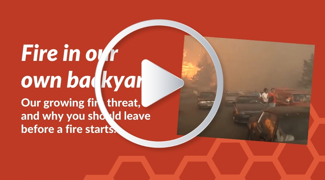 The City's Office of Emergency Services has created a video series to help community members understand the growing wildfire threat facing Berkeley and what you can do to take control before a fire starts.
These videos walk you through making a fire weather plan for your household, explain how weather conditions relate to fire risk, and highlight the behind-the-scenes work the Berkeley Fire Department is doing to prepare our community for the 2021 wildfire season and beyond. See the playlist on YouTube.
|
|
 |
|
We're here to help
Use our Report & Pay tool to access City services quickly.
Or call (510) 981-2489, or 3-1-1 inside City limits.
|
|
|
|
|
|