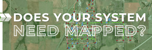
 Since 2015, the OWRB Water System Infrastructure Mapping Program has helped small towns and rural areas map important systems like water, wastewater, and stormwater—for free! Now, we’re accepting applications for the SFY 2025 Mapping Program.
Each year, the program maps five to six systems. It’s open to small systems with fewer than 1,100 connections, serving populations under 3,300, and who have borrowed from the Clean Water or Drinking Water State Revolving Funds (CWSRF/DWSRF) in the past or currently.
How does mapping help your system?
- Preserve critical infrastructure data.
- Respond faster to emergencies like line breaks or leaks.
- Plan accurately for future needs and service expansions.
- Receive help with Fiscal Sustainability Plans for CWSRF loans.
Take advantage of this opportunity—apply today to be have your system considered for the SFY 2025 Mapping Program and set the foundation for a stronger future!
For questions or more information about the OWRB Water System Infrastructure Mapping Program, please contact Lindy Clay, Environmental Programs Manager, at lindy.clay@owrb.ok.gov or (405) 530-8858.
|