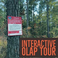
OLAP NEWS
Welcome to the inaugural OLAP newsletter! Please subscribe to stay up to date on OLAP walk-in area information.
The OLAP is entering its second year, and enrollment totals are currently:
- Walk-in Hunting (Archery/Shotgun Only): ~53,000 ac
- Walk-in Hunting (September Only): 785 ac
- Stream Access: ~4 stream miles
- Walk-in Fishing Access (Season and Annual): >50 surface ac
- Walk-in Wildlife-viewing: 320 ac
Thank you to all the sportspersons whose ethical conduct resulted in a great 2017-2018. More walk-in areas are being enrolled for this fall, and updates will be issued as needed. Please continue being respectful to the land and the landowner, and report any wildlife violations to Operation Game Thief (1-800-522-8039).
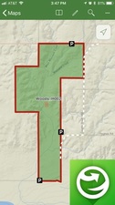
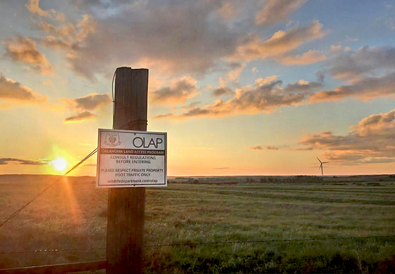
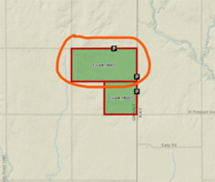
Please visit the OLAP webpage to view maps, review regulations, etc.
_______________________________________
New Walk-in Hunting Areas (Archery/Shotgun Only), Opens September 1, 2018:
- Cimarron: 4,500 ac
- Texas: 160 ac
- Beaver: 510 ac
- Harper: 640 ac
- Woods: 4,120
- Woodward: 1,728 ac
- Harmon: 1,640 ac
- Greer: 685 ac
- Jackson: 465 ac
- Logan: 818 ac
- Payne: 160 ac
- Osage: 320 ac
- McIntosh: 70 ac
- Sequoyah: 310 ac
New Walk-in Hunting Areas (September Only), Opens September 1, 2018:
New Stream Access (Annual access): Open now
- Cotton: 0.85 miles (Cache Creek)
New Walk-in Fishing Area (Annual access): Open now
New Walk-in Fishing Area (Seasonal Access: May 7 - Aug 31): Opens May 7, 2019

 |
|
Grant_H001
Removed from OLAP effective immediately.
|
 |
|
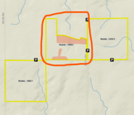
Noble_H002
Removed from OLAP effective immediately.
|
 No Walk-in Areas are currently Temporarily Closed.
|