|
|
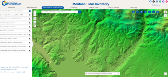
Following a soft release in April, a new version of the Montana Lidar Inventory is now live. Explore lidar for Montana at:
https://msl.mt.gov/gis/lidarinventory (Bookmark this link, as it is a persistent URL to be used with future releases. Please update old bookmarks).
The new application is rebuilt in ESRI's Experience Builder and has the same functionality as the previous application, plus some new features:
-
More mobile friendly - Give it a try on your favorite device.
-
New lidar acquisition status dashboard - Glean information about when a lidar project may be available. Lidar is now available for over 85% of the state with more coming!
-
Lidar 101 and Image Gallery- Are you new to lidar? Get a quick introduction. Download posters to use as backgrounds or to hang in your office.
-
Enhanced help - Short videos show the steps and buttons to click.
-
Add your own GIS data - See how your area of interest overlaps with available lidar data.
Thank you to the USDA NRCS for their support in developing this application and to the USGS 3D Elevation Program and other partners who have contributed to lidar acquisitions in Montana.
|
|
|
The Montana Lidar Inventory compliments the USGS 3D Elevation Program's National Map: Lidar Explorer. The Montana Lidar Inventory offers derived-products, including project-wide mosaics of the digital surface model, hillshade, canopy height model, and intensity; while, the USGS offers self-serve access to source data, including the lidar point cloud and original DEM tiles.
Can't find the lidar data you are looking for? Submit a lidar data request form
Have a question or need additional assistance?
The best way to submit GIS technical support or information requests is through GeoSupport, our customer support ticketing system. Staff constantly monitor GeoSupport and will return tickets in the order received.
|
|
|
|