Wyoming is a geology state in the most practical sense. From the energy and minerals that power our economy to the water we rely on and the infrastructure we build, nearly every major decision in this state traces back to the complex reality under our feet. At the Wyoming State Geological Survey (WSGS), our role is to make that geology usable—turning field observations, subsurface records, and geophysical data into public, decision-ready knowledge.
Every so often, it’s worth stepping back to ask what a small state agency delivers when it’s doing its job well. This update is meant to answer that clearly: we turn “what’s beneath us” into a reliable public asset—information that helps Wyoming move faster, spend smarter, and make decisions that hold up over time.
Most people interact with geology every day without realizing it. It shows up when a road requires repair year after year, when a community weighs the logistics of new growth, or when a homeowner discovers their foundation is shifting. In those moments, the question isn’t academic; it’s practical. People need to know the geology beneath their feet.
This work starts with the “base layer” of modern geologic mapping and well-organized data. A geologic map is far more than a picture of rocks; it is a foundational tool that reveals faults, landslides, and structures that planners, engineers, agencies, and researchers depend on. We do the active work to build that foundation: conducting field mapping, creating digital GIS-ready products, and maintaining public tools that help people find and use geologic information quickly and with confidence.
Usability matters most in Wyoming’s resource economy. Our energy and mineral industries depend on what the subsurface can produce—and on the clarity that allows development, regulation, planning, and investment to be grounded in defensible information. Geology is rarely self-explanatory, even in a state where resources are world class. The WSGS helps translate basins, formations, reservoirs, coal seams, and mineral systems into public understanding through maps, datasets, summaries, and interpretive products. The result is transparency—information that supports better questions, reduces uncertainty, and helps Wyoming’s decision-makers, landowners, agencies, and industries move forward with less duplicated effort and more confidence.
We also help communities see geologic risks before they become a budget-breaking surprise. Wyoming faces hazards ranging from landslides and earthquakes to slow, costly issues like expansive soils and erosion. These hazards don’t need hype; they need visibility. By translating technical geology into accessible hazard layers and practical guidance, we help answer a simple planning question: what exists here, and what should we consider before we build? Early awareness of potential hazards is almost always cheaper than reacting after damage is done.
Finally, Wyoming’s deep-time story—including world-class fossils and our iconic landscapes—is part of our state’s identity and visitor experience. By sharing clear geologic explanations and supporting outreach and education, we help connect people to places and strengthen public trust in science that is visible, usable, and locally relevant.
|
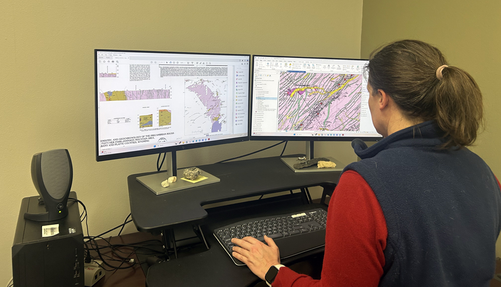 |
WSGS scientist Katie Lyon finalizes a geologic map for public release, contributing to standardized statewide mapping and open access to Wyoming’s geologic data.
Before we can make confident choices about infrastructure or land use, we need the "base layer." A geologic map is more than a picture; it is a technical tool used by engineers and planners to understand rock types, faults, and sediments.
-
The WSGS Role: We perform the active field mapping and digital GIS work that becomes the foundation for state planning.
-
The Value: We keep this data public and credible so that decision-makers aren't forced to rely on incomplete information or expensive, redundant, or one-off private interpretations.
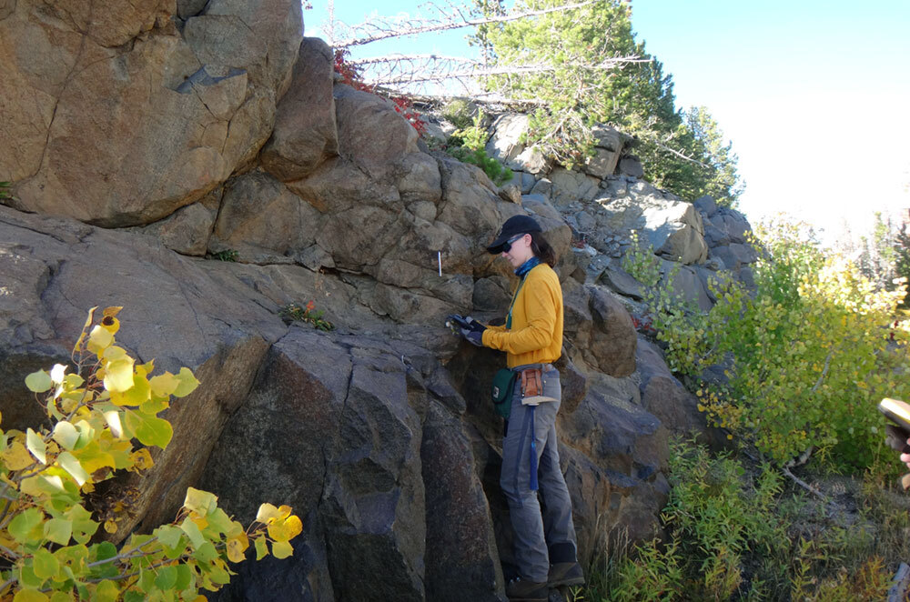
WSGS geologist Patty Webber sampling a particularly magnetite-rich gabbro from the Lake Owen Complex in the Medicine Bow Mountains. Patty is working on a project to document the geology, geochemistry, mineralization, and geochronology of this region, which has a high potential for critical minerals and precious metal deposits.
Wyoming’s economy is built on world-class geology. However, formations, reservoirs, and ore bodies are physical systems that require sophisticated study to reduce uncertainty for investors and policymakers.
-
Energy & Minerals: We track activity and publish datasets that expose what can’t be seen at the surface.
-
The Value: By integrating mine locations, geochemistry, and geophysical data, we help users move from "What’s out there?" to "What does the evidence show?" with higher confidence and less duplicated effort.
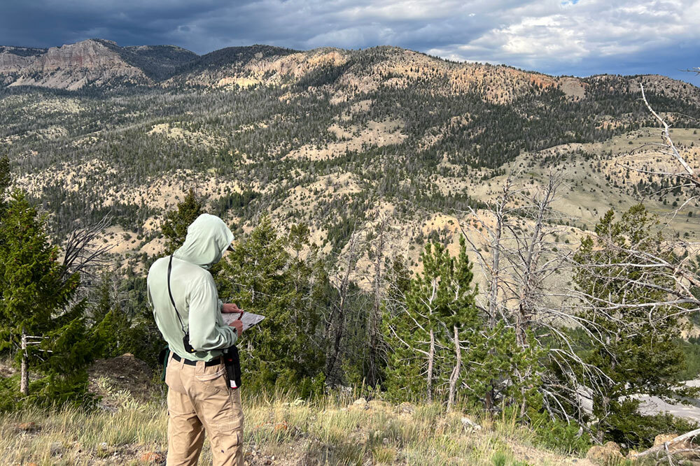
WSGS geologist James Mauch mapping active landslides north of Dubois as part of work on a STATEMAP-funded surficial geologic map of The Ramshorn 30' x 60' quadrangle. This field mapping effort helped identify previously unrecognized landslides on the southern flank of the Absaroka Range.
Geologic hazards—from landslides and earthquakes to expansive soils and radon gas—can quietly drive up long-term infrastructure costs.
-
Making Hazards Visible: We publish a mix of interactive maps, downloadable GIS datasets, technical reports, and outreach materials that make hazards easier to recognize and plan around. The Wyoming Geologic Hazards Map supports statewide research and exploration of hazard information (including landslides, earthquakes, windblown deposits, expansive soils, radon, and active faults), and we also provide supporting hazard map publications such as landslide susceptibility mapping and reports on active faults.
-
The Value: It is significantly cheaper to see a hazard early. When communities can identify risks before they permit, build, or repair, decisions are faster and less likely to result in expensive, cost overruns or surprises.
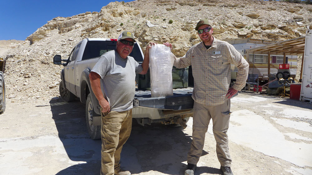
WSGS geologist Colby Schwaderer meets with quarry operator Rick Hebdon to transfer a rare salamander fossil discovered at the Jackson Quarry Site on state lands west of Kemmerer, WY for curation in the Wyoming State Fossil Archive.
Wyoming’s fossils are world-famous, but they only tell a full story when connected to the geology—the rock layer, the age, and the environment.
-
Education & Stewardship: We provide the context that turns a fossil into a piece of history.
-
The Value: This isn't just about the past; it supports a visitor economy rooted in scenery that becomes more meaningful (and keeps visitors here longer) when the "why" behind the view is explained.
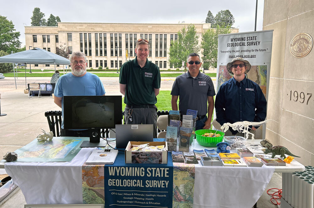
WSGS geoscientists James Rodgers, Colby Schwaderer, Raul Ochoa, and Collin Jensen ready to discuss dinosaurs with the more than 1,000 attendees at the Wyoming State Museum's Dino Days event in July of 2025.
None of this work matters if it stays locked behind technical barriers. Outreach is how geologic knowledge becomes shared knowledge.
Our Commitment: We ensure Wyoming's geologic information remains transparent and available to every landowner, policymaker, and industry stakeholder in the state.
|