
NEWS RELEASE: New Wyoming Geological Survey Pamphlet Highlights Geology in Hot Springs State Park
Wyoming State Geological Survey sent this bulletin at 03/18/2021 09:06 AM MDT
March 18, 2021
******FOR IMMEDIATE RELEASE******
Media Contact:
Christina George
(307) 766-2286 x231
christina.george@wyo.gov
The WSGS Publishes Pamphlet about Geology in Hot Springs State Park
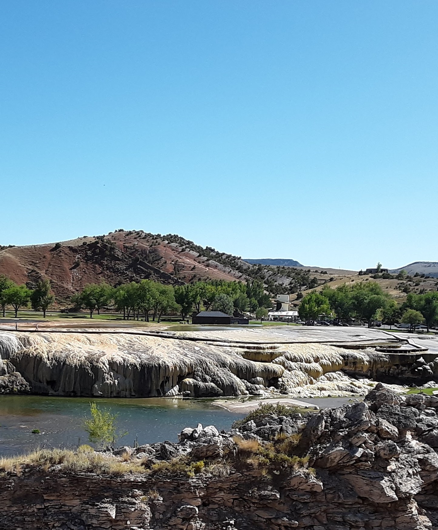
Just outside of Thermopolis, Hot Springs State Park is known for its world-famous mineral hot springs. The vibrant travertine deposits and surrounding “red beds” are also well known. A new Wyoming State Geological Survey pamphlet highlights these geologic features and more in and near the park.
“The Hot Springs State Park information pamphlet is the final in our series about geology found in state parks across Wyoming,” says Dr. Erin Campbell, WSGS Director and State Geologist. “These parks are truly state treasures, and I hope these free pamphlets help residents and geotourists alike to fully appreciate our parks’ beauty and fascinating geologic history.”
Hot Springs State Park’s uniqueness begins with water from the Owl Creek Mountains south of the park. The water travels deep into the ground, where it is heated by geothermal processes before returning to the surface, creating the natural warm and hot springs and travertine deposits.
The pamphlet includes two maps—one depicting the geology in and around Hot Springs State Park and a second locating named hot springs. Geologic history and additional hydrogeology are also described in the pamphlet.
Other information pamphlets available in the series are Boysen, Buffalo Bill, Glendo, Edness K. Wilkins, Bear River, Keyhole, Guernsey, Seminoe, and Curt Gowdy. At this time, the WSGS does not plan to publish a pamphlet about Sinks Canyon State Park because the park already offers a plethora of information about its geology.
Pamphlets are free and are available at the WSGS office on the University of Wyoming campus in Laramie and at park visitor centers.

|
Interpreting the past ~ providing for the future Email: wsgs-info@wyo.gov |
| STAY CONNECTED: | |||||||
|
|||||||
SUBSCRIBER SERVICES:
Manage Subscriptions | Unsubscribe All | Subscriber Help