
NEWS RELEASE: Wyoming Geological Survey Updates Interactive Groundwater Atlas of Wyoming
Wyoming State Geological Survey sent this bulletin at 10/26/2020 09:43 AM MDT
October 26, 2020
******FOR IMMEDIATE RELEASE******
Media Contact:
Christina George
(307) 766-2286 x231
christina.george@wyo.gov
WSGS Completes Major Update to Online Groundwater Atlas of Wyoming
The Interactive Map Brings Together Groundwater Information from Several State and Federal Agencies
The Wyoming State Geological Survey (WSGS) has completed an update to its online Groundwater Atlas of Wyoming, which provides a wide range of information about the state’s groundwater.
“This update greatly expands the groundwater information on this map and offers a single source for most groundwater information,” says Dr. Erin Campbell, WSGS director. ”The staff at the WSGS is always available to help the public understand these data so they can best manage their wells and water sources.”
Groundwater is especially important in a state like Wyoming where surface water can be scarce and seasonal. The WSGS launched the atlas in 2017, making it easier for users to explore basic groundwater data quickly.
The map offers groundwater datasets from public sources and WSGS products. Public datasets feature interactive versions of extensive state and federal agency databases, such as well and spring permits from the Wyoming State Engineer’s Office (WSEO), and produced and environmental water quality from the United States Geological Survey (USGS).
One of the most prominent features of the update is a collection of the entirety of WSEO well data, including over 30 percent more well permits than were available in the previous version of the atlas. WSEO spring permits are also a new addition to the atlas, showcasing the nearly 10,000 permitted springs in the state.
Additionally, hydrostratigraphy compiled from the joint Wyoming Water Development Commission (WWDC), WSGS, and USGS Wyoming River Basin Plans reports are available. Data products from WSGS reports on Statewide Groundwater Baseflow and Groundwater Salinity in Wyoming are also included.
“In addition to having more current datasets, we hope the public finds the new salinity layers, sortable attribute tables, and data queries useful,” says Jim Stafford, WSGS geohydrologist and author of the atlas.
The map provides a variety of basic reference layers such as roads, political boundaries, surface hydrology, townships, ranges, and general geologic data. Interactive tools of the Groundwater Atlas of Wyoming include the ability to zoom in on a map location to see more detailed data along with labels for well depth, static water level, and water quality and pop-ups with specific site data that appear for any visible features selected with the mouse pointer.
Attribute tables are available for all primary datasets. Premade data queries for common searches, such as permit number, township and range, status, depth, use, and total dissolved solids water quality, are included. An information panel provides instructions to users upon launching the map. A second panel with dataset descriptions and links to original data sources is also available within the map interface.
The Groundwater Atlas of Wyoming will be updated periodically to enhance ease of use and as new data become available. The atlas is free to use and can be found via the WSGS website. Additional information about Wyoming groundwater can be found here.
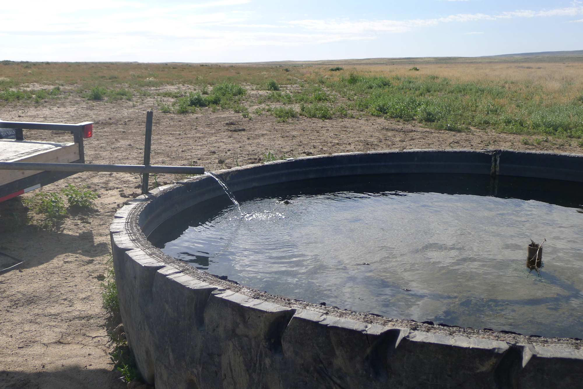
Caption: A livestock tank fed by a solar well in the Great Divide Basin (WSGS).

|
Interpreting the past ~ providing for the future Email: wsgs-info@wyo.gov |
| STAY CONNECTED: | |||||||
|
|||||||
SUBSCRIBER SERVICES:
Manage Subscriptions | Unsubscribe All | Subscriber Help