
NEWS RELEASE: Wyoming Geological Survey Publishes Study on Groundwater Resources in Northeast Wyoming
Wyoming State Geological Survey sent this bulletin at 12/03/2019 01:49 PM MST
December 3, 2019
******FOR IMMEDIATE RELEASE******
Media Contact:
Christina George
(307) 766-2286 x231
christina.george@wyo.gov
WSGS Studies Groundwater Resources in Northeast Wyoming
The Wyoming State Geological Survey (WSGS) has completed a groundwater study of the Powder/Tongue/Northeast River Basins (NERB) in northeast Wyoming for the Wyoming Water Development Commission (WWDC). The study is part of an overall effort to assess groundwater in river basins throughout the state. This was a multi-year project funded by the WWDC.
“Groundwater is an incredibly valuable resource, and this study contributes to the careful stewardship of that resource,” says Dr. Erin Campbell, director of the WSGS. “This is the last in a series of reports documenting groundwater availability, quality, and use across the state.”
The NERB encompasses the entire northeast quarter of Wyoming, and includes headwater drainages of the Little Bighorn, Tongue, Powder, Little Powder, Little Missouri, Belle Fourche, Cheyenne, and Niobrara rivers. The waters from all eight rivers flow ultimately to the Missouri River.
Geologists with the WSGS, in partnership with the U.S. Geological Survey, conducted a full assessment of the aquifers of the NERB as well as small upstream watersheds in Montana, South Dakota, and Nebraska. They also estimated and mapped water-related information, and evaluated other related studies and groundwater models for the final published report.
“Aquifers in the NERB generally show fair to very good potential to meet expected groundwater resource demands in the next 20 years and probably well beyond,” says Karl Taboga, WSGS hydrogeologist and project leader. “Most notably, the widely used Wasatch, Fort Union, and Arikaree aquifers continue to show the highest potential for sustainable development.”
Major sandstone aquifers include the Arikaree, Wasatch, Fort Union, Lance, and Fox Hills formations and the Inyan Kara Group. The Tensleep and Minnelusa formations and the Madison Limestone are productive limestone aquifers. Of these aquifers, the Wasatch-Fort Union aquifer system has been the most heavily produced.
Overall, the NERB provides water to more than 102,000 people in Wyoming, or 17 percent of the state’s population. This includes 19 incorporated municipalities, 17 unincorporated communities, numerous subdivisions, and a large rural population.
“Groundwater is especially important in the arid West, from freshwater drinking supplies to irrigating crops,” says Taboga. Approximately 2 percent (256,500 acres) of the basin’s surface area consists of irrigated cropland.
Approximately 70 percent of the land area of the NERB is privately owned. The remaining land is federally owned or owned by the State of Wyoming. Land use in the region includes recreation, logging, and agriculture.
Groundwater suitable for domestic and livestock use is more widely available in the NERB than in some other Wyoming basins. However, areas with limited groundwater resources are present in northern Natrona County, eastern Johnson and Sheridan counties, and in parts of the Little Missouri and Cheyenne river drainages.
Wyoming's river basin plans are part of the WWDC’s efforts to develop and maintain state water plans for each basin.
"The information provided in these plans is highly sought after by professionals in Wyoming wanting to learn more about groundwater," says Jodee Pring, supervisor of river basin planning at the Wyoming Water Development Office. "These plans provide the most comprehensive information available to date on the characteristics of groundwater in the NERB."
The Powder/Tongue/Northeast River Basins Water Plan Update, Available Groundwater Study (2002–2016), includes 482 pages with color graphics and foldout figures, and is available for free download. Other water update reports in the river basin series also are available as free downloads: Bear River, Green River, Platte, Snake/Salt, and Wind/Bighorn.
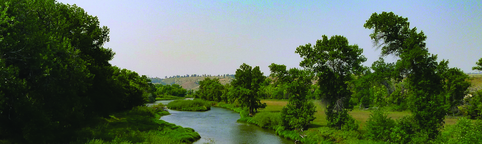
(Photo caption: Tongue River)

|
Interpreting the past ~ providing for the future Email: wsgs-info@wyo.gov |
| STAY CONNECTED: | |||||||
|
|||||||
SUBSCRIBER SERVICES:
Manage Subscriptions | Unsubscribe All | Subscriber Help