EDC: The A-GaME!

Advanced Geotechnical Methods in Exploration (A-GaME)

An Every Day Counts Innovation

A-GaME Televiewer Technology Aids in Design of Slope Repair

ODOT's Cody Notz onsite during televiewer logging

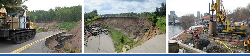
In March, a rock slope failure along State Route 7 in Mingo Junction prompted the Ohio Department of Transportation (ODOT) to initiate a rock slope repair project. As the planning and design for a major excavation got underway, ODOT combined the use of televiewers — an advanced geotechnical methods in exploration (A-GaME) technology — with conventional boring data to reduce uncertainties and boost confidence in the design.

According to Christopher (Cody) Notz, P.E., district geotechnical engineer for ODOT-District 11, ODOT crews took five soil borings on the slope above the rock slide. The soil borings showed that the rock was very poor quality, with high angle fractures and significant water. “We knew that the information we got from the soil borings and from the rock cores wasn’t enough for us to confidently design this slope,” Notz points out. “Once you pull the rock cores from the borehole, you can view the joints and the discontinuities, but there is core loss so you don’t have a full picture of what’s actually in the hole.

Televiewer log data

Initially, the ODOT crew sent a video camera down the boreholes, but they were unable to get detailed visual information or determine the orientation of the fractures within the slopes relative to the roadway. At that point, ODOT chose to use acoustic and optical televiewers to obtain high-resolution 3D images of each borehole. The Optical Televiewer (OTV) uses a camera while the Acoustic Televiewer (ATV) uses an ultrasonic pulse to take 360 degree, continuous oriented images of the borehole wall.

“We chose the televiewer because this technology gives us a 3D image of what is actually in the ground in situ,” explains Notz. “It gives us the planes of these joints relative to the roadway and relative to the slope. We can use this data along with the other holes up and down the slope to better map the joints along the slope and aid in our design.”

Notz says that the data ODOT is going to receive from this technology will allow them to refine the design and be more confident in the final slope design for this project. “The data will allow us to be more efficient in the elevations that we choose for our benches and the locations that we decide to place our cuts,” he adds. “And to create a much more efficient design overall and hopefully produce a better product.”

A-GaME Webinars

The Deep Foundations Institute (DFI) will be hosting and distributing recordings of the FHWA A-GaME 2020-2021 winter webinar series on their YouTube Channel. A-GaME webinars feature proven, effective exploration methods and practices for enhanced, effective site characterization that reduce project risks, improve quality and accelerate project delivery. Information on the recorded sessions will be available soon.

stay connected

If you are not already a subscriber, the Center for Accelerating Innovation invites you to subscribe to EDC News and Innovator. These newsletters cover this topic and many additional innovative topics you may be interested in.

subscribe today
On Ramp to Innovation - USDOT Federal Highway Administration