U.S. Geological Survey sent this bulletin at 08/19/2026 04:25 PM EDT
Summer Newsletter August 2026
Featured Articles
2025 NLCD Data Available
June 30, 2026
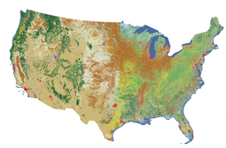
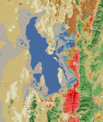
The USGS Annual National Land Cover Database (NLCD) released Collection 1.2 adding land cover and land cover change data for the continental United States.
Updated annually, the 41-year database now offers 2025 data.
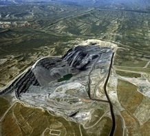
The Landsat archive is the only satellite record that provides a long-term view of Earth’s surface dating back to before some coal mines began operating.
The Powder River Basin in Wyoming started in the 1970s and continues to evolve. Landsat delivers before, during, and after mining images.
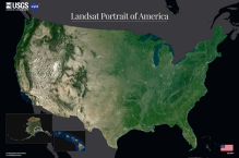
A new Landsat mosaic captures the full geographic diversity of the United States in a single image. It honors the 250th anniversary of the United States. Read the article and download the image when you click below.
Also, Landsat data are used in all 50 states! Find out how it's used in your state or across the country.
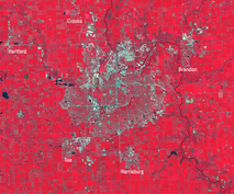
Urban expansion in Sioux Falls, South Dakota, sees the city's population near 225,000. The city saw significant expansion to its southwest, southern and southeastern borders.
The metro area now includes 4 counties in SD and 1 county in Minnesota.
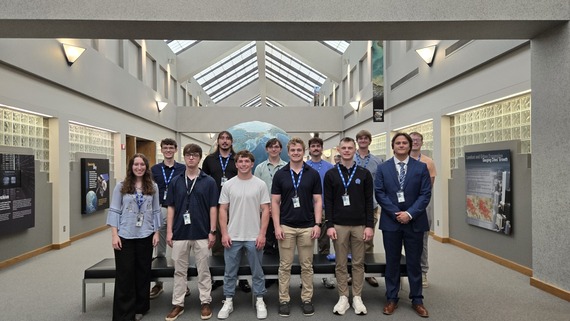
The U.S. Geological Survey’s EROS Center uses remotely sensed data to track how the Earth is changing. In addition to world class science, EROS houses the national archive of Earth observation data and operates the satellites of the U.S. Landsat Program.