U.S. Geological Survey sent this bulletin at 05/20/2026 11:01 AM EDT
May 20, 2026
Faces of Annual NLCD
This feature introduces you to people at the USGS Earth Resources Observation and Science (EROS) Center who work to deliver updates to the Annual National Land Cover Database (NLCD).
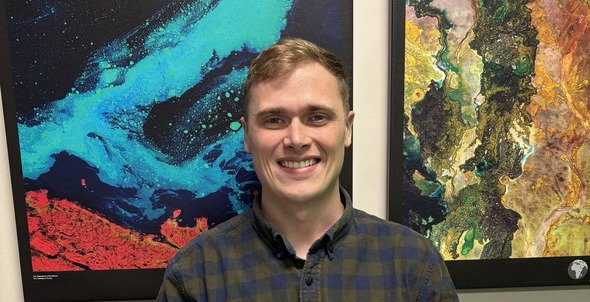
Meet Rylie Fleckenstein, Contractor Team Lead for R&D (Algorithm Innovator)
Tell us about your work on the Annual NLCD project.
I work on the development, integration, and testing of AI/ML (artificial intelligence/machine learning) classification strategies, or algorithms. I developed the Land Cover Artificial Mapping System (LCAMS), which is the classification algorithm we’re using for Annual NLCD. I led the research, implementation, and testing of LCAMS, which involved training the models, testing the models, and engineering the algorithm software for production.
How is LCAMS different than the legacy method of classifying land cover?
On a high level, it works pretty much the same. We ingest raw Landsat time series data. We pass it through classification and change detection algorithms, and we produce our land cover maps. The difference is that the classification algorithm in the past relied on legacy statistical models. Also, the final product generation was more human in the loop, and it was every two to three years for Legacy NLCD. They would produce initial maps using machine learning models, and then they would have the experts edit and align things. It took time. Now the classification algorithm is modern deep learning, or neural network architectures. It removes a lot of that human processing.
How can people have confidence in the new method?
We’re doing formal accuracy assessments, and our results show that our Annual NLCD products perform basically about the same as the legacy products. Why? Neural networks are really good at learning up to the threshold of what their training data is. For the new classification algorithm, we utilized Legacy NLCD’s final product as the training data. The algorithm was able to capture and encapsulate all that domain knowledge and then dynamically reproduce a similar quality product for Annual NLCD.
What do you like best about what you do?
I really like solving problems with computers. My background is in computer science mathematics, so AI/ML. Being able to apply those fundamentals or theoretical ideas that I enjoy and learned in school to a really dynamic, challenging problem like land cover mapping is rewarding. It’s hard. We don’t always get the right answers right away, but we’re always striving to improve.
What are you excited about for the future of Annual NLCD?
We established a baseline methodology for CONUS, which was a large advancement from legacy projects. Now we’re working on establishing a similar baseline for Alaska and Hawaii. And then I’m looking forward to Collection 2.0, where we’re going to revisit more advancements.
Anything surprising to share about your work with Annual NLCD?
I’ve worked here for just about five years. When I started working here, I didn't even know what Landsat was. And now I work on the algorithms for land cover classification predicated on Landsat. I’ve had to learn so much. I come from a slightly different domain, and applying those kind of concepts to the remote sensing world has been interesting and fun.
Annual NLCD Collection 1.2 Update for the Lower 48 States: The next release of Annual NLCD data, which will add information from 2025, is set for June 30, 2026.
Annual NLCD addition of Hawaii and Alaska: Work is under way! Hawaii’s data release is currently expected in early 2027 and Alaska’s by mid-2027.
Annual NLCD Celebrates 2 Million Downloads!
May 1, 2026 — From Annual NLCD's debut in October 24, 2024, through the end of April 2026, more than 2 million Annual NLCD COGs (Cloud Optimized GeoTIFFs) have been downloaded. That number represents only downloads; it does not include additional access and use of the data that remained in the cloud environment.
Tree Canopy Cover Adds Alaska, Hawaii, and Territories
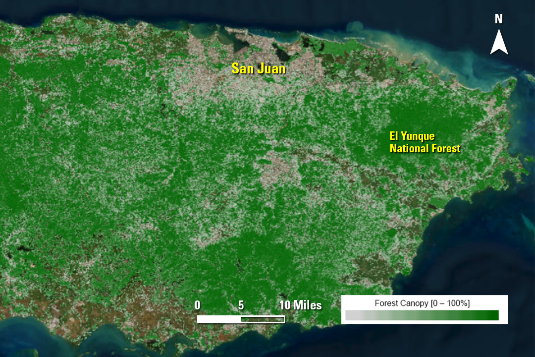
February 11, 2026 — The Annual National Land Cover Database (NLCD) has added Tree Canopy Cover data provided by the U.S. Forest Service for Alaska, Hawaii, Puerto Rico, and the U.S. Virgin Islands, alongside the lower 48 states, for 1985–2023.
The above Tree Canopy Cover map of eastern Puerto Rico shows El Yunque National Forest, the only tropical rainforest in the United States’ national forest system. El Yunque National Forest, on the slopes of the Luquillo mountains, has a remarkable diversity of plants and animals.
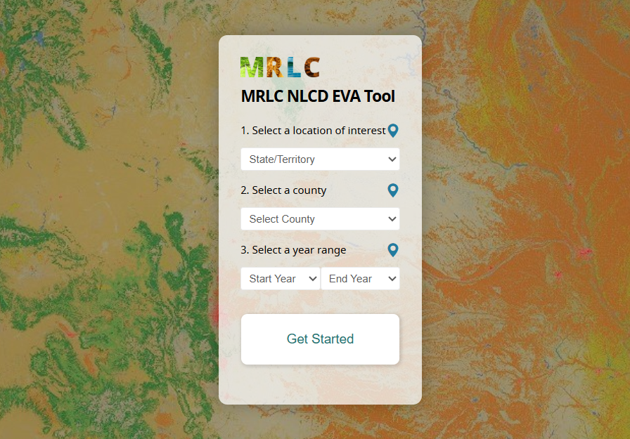
Demonstration videos provide an introduction to two MRLC tools, the Annual NLCD Viewer and the Enhanced Visualization and Analysis (EVA) Tool. Watch to be sure you are getting the most out of them!
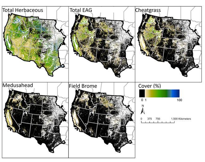
We would love to hear what you’re doing with NLCD, RCMAP, EAG or other land cover data. The variety of uses continues to amaze us! Email us about it at custserv@usgs.gov.
Catch Up on Past Newsletters
Are you a newer subscriber who would like to browse our previous newsletters? That's easy to do!
Social media updates about USGS Land Cover have moved to the USGS EROS social media accounts. Be sure to follow EROS on X (formerly Twitter), Facebook and Instagram for information on upcoming data, tools, services and publications.
Have questions about Annual NLCD or other land cover products? Email custserv@usgs.gov.