U.S. Geological Survey sent this bulletin at 09/17/2025 10:05 AM EDT
September 17, 2025
New Release: Annual NLCD Collection 1.1!
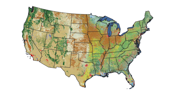
June 25, 2025 — The latest update to the Annual National Land Cover Database (NLCD) has arrived with the addition of land cover and land change information from 2024.
The update extends the timeseries to 40 years, starting with 1985, for the lower 48 United States. The Landsat satellite program’s historical record makes that long view of the land possible.
Data access sources continue to include the MRLC and USGS EarthExplorer websites, in addition to the cloud.
Annual NLCD Reference and Validation Data Released
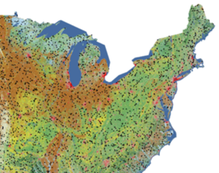
July 25, 2025 — Reference and validation data for Annual NLCD Collection 1.0, from 1985 to 2023, is now available, with reference data for 8,360 plots across the conterminous United States.
June 25, 2025 — Newly released Annual Tree Canopy Cover data from the USDA Forest Service Geospatial Office for the years 1985 to 2023 supplements Annual NLCD data.
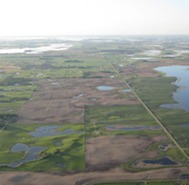
The Essential Connection Between Landsat and Annual NLCD
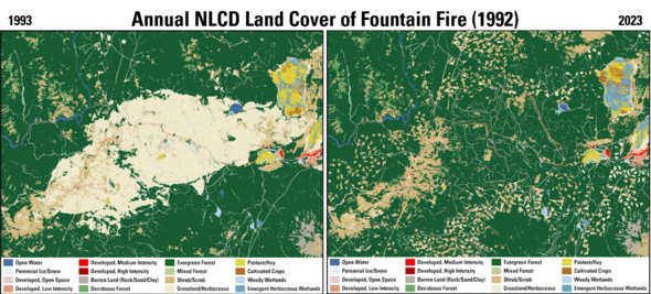
August 11, 2025 — Landsat’s long record made the Annual NLCD improvements, with four decades of land cover and land change data, possible. See just one example of change below (in the article link, the change is displayed as an animation showing each year from 1985 to 2023 with corresponding Landsat scenes next to it).
The 1992 Fountain Fire in northern California burned about 64,000 acres, almost all of it privately owned (shown below left as the grassland/herbaceous land cover classification a year later). Nearly two-thirds of the land was owned by timber companies that replanted trees after the fire. Decades later, the results of their reforestation efforts are clear.
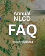
When will areas outside of the lower 48 states be included in Annual NLCD? Can you download data as a CSV file or shapefile? To help Annual NLCD users with frequently asked questions like these, answers have been compiled in an easily accessible format.
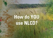
We would love to hear what you’re doing with NLCD, RCMAP, EAG or other land cover data. The variety of uses continues to amaze us! Email us about it at custserv@usgs.gov.
Recent Popular Posts on our Social Channels
The EROS social media accounts see high interest in land cover-related topics. Here are a couple of popular posts.
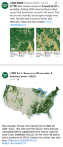
A July 2, 2025, X post (top right) that reminded people about the release of the latest version of Annual NLCD has gained more than 8,000 views and 259 engagements. View the post.
A Facebook post (bottom right) on July 15, 2025, that announced the release of the Annual Tree Canopy Cover data had an outstanding performance. It received more than 48,000 engagements, including 3,492 likes and other reactions, and it generated hundreds of comments. View the post.
Social media updates about USGS Land Cover have moved to the USGS EROS social media accounts. Be sure to follow EROS on X (formerly Twitter), Facebook, and Instagram for information on upcoming data, tools, services, and publications.
Have questions about Annual NLCD or other land cover products? Email custserv@usgs.gov.