U.S. Geological Survey sent this bulletin at 06/18/2025 10:06 AM EDT
June 18, 2025
Coming Soon:
Annual NLCD Collection 1.1 Release!
It might feel like the Annual National Land Cover Database (NLCD) just debuted, but the team has been busy! A new update is already planned for release June 25, 2025, that will add land cover and land change information from 2024.
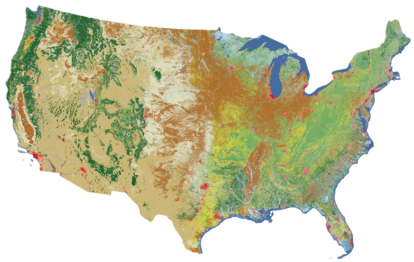
The update, called Collection 1.1, will contain 40 years of land cover and land change, from 1985 through 2024, for the lower 48 United States. The Landsat satellite program’s historical record makes that long look at the land possible.
Data access sources will continue to include the MRLC and USGS EarthExplorer websites, in addition to the cloud.
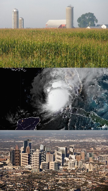
March 6, 2025 — Ever wonder who has been using NLCD? The team sure does, so they did a little digging. And it turns out, the better question might be—who doesn’t use NLCD? NLCD has become foundational in a wide variety of areas of society, from private industry and academia to all levels of government, helping with energy, property risks, agriculture and more.
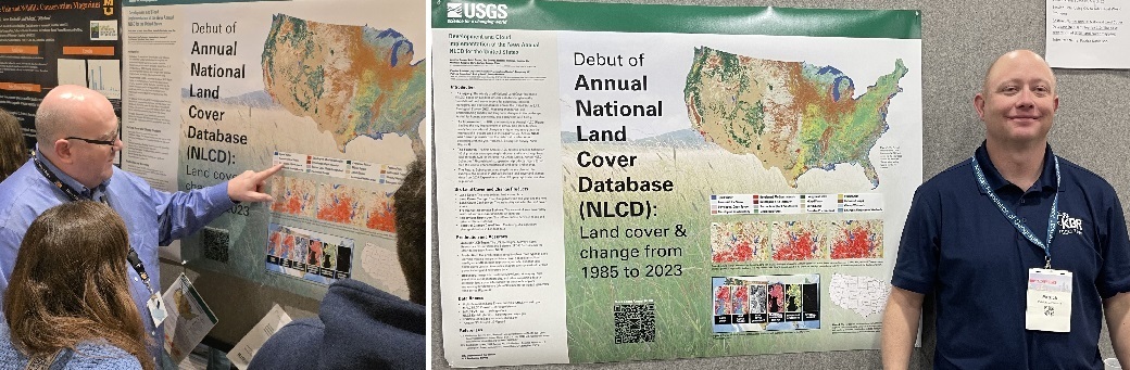
At several conferences earlier this year, a new poster debuting Annual NLCD generated questions and enthusiasm among attendees.
Charles Robison (left photo below), a contractor at the USGS Earth Resources Observation and Science (EROS) Center, presented the poster at the Midwest Fish & Wildlife Conference.
Patrick Danielson (right photo below), also a contractor at USGS EROS, presented at the American Association of Geographers annual meeting.
Christopher Barber of the USGS presented at the International Association of Landscape Ecology – North America annual meeting, talking with people for 90 minutes straight and also passing out new Annual NLCD postcards.
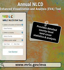
The Annual NLCD Enhanced Visualization and Analysis (EVA) Tool, a resource for understanding landscape change, has been updated! Just select a beginning and end year from 1985 to 2023, and this user-friendly and accessible online tool provides a clear picture of transformed landscapes within a defined county. View key changes in urban development, forest cover, agricultural land and other land cover types.
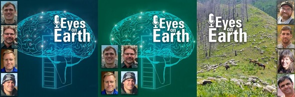
About AI: A recent two-part series of Eyes on Earth episodes showcases the current and potential ways that artificial intelligence (AI) is shaping remote sensing work, including Annual NLCD. AI methods were key to the rapid reinvention of Annual NLCD, including the ability to go back to 1985 and determine annual land cover and change.
EAG Study: A new Eyes on Earth episode highlights a research project that uses timely Exotic Annual Grass (EAG) data from the USGS to graze sheep on cheatgrass-invaded areas in the Idaho mountains. A reduction in cheatgrass could reduce wildfire risk, too.
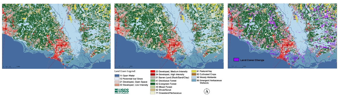
Hurricane Katrina's Effect on Land Cover and Change
The panel above shows an example of the power of Annual NLCD to reveal land cover and land change on an annual basis. This area northeast of New Orleans, Louisiana, across Lake Pontchartrain was affected by Hurricane Katrina in late August 2005 and includes southwestern Mississippi. Eden Isle, Louisiana, is the populated area depicted in shades of red in the center of the images.
The left Annual NLCD land cover image is from 2005; the 2006 image in the center characterizes land cover after the hurricane. The right image identifies in purple the areas that experienced change between the two images. Key changes include evergreen forest turning into grassland/herbaceous land cover and emergent herbaceous wetland areas becoming open water.
USGS land cover science provides the opportunity to look at where land has changed over time and why. A couple of recently published visual stories look at specific areas and potential causes of change.
We would love to hear what you’re doing with NLCD, RCMAP, EAG or other land cover data. The variety of uses continues to amaze us! Email us about it at custserv@usgs.gov.
On Social Media:
Popular Posts
The EROS social media accounts continually see high interest in land cover-related topics. Here are a couple of popular posts.
A February 25, 2025, Facebook post about the Exotic Annual Grass dataset yielded nearly 1,500 likes/reactions and more than 108,000 plays, with a lot of conversation about invasive grasses. View the post.
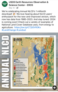
A Facebook post on May 12, 2025, celebrating the 1 millionth download of Annual NLCD earned 317 likes/reactions and more than 18,000 plays of a change animation of Salt Lake City, Utah. View the post.
Social media updates about USGS Land Cover have moved to the USGS EROS social media accounts. Be sure to follow EROS on X (formerly Twitter), Facebook, and Instagram for information on upcoming data, tools, services, and publications.
Have questions about Annual NLCD or other land cover products? Email custserv@usgs.gov.