MULTIMEDIA RELEASE: Coast Guard urges offshore, coastal safety across District 7 for Tropical Storm Eta
U.S. Coast Guard sent this bulletin at 11/08/2020 05:49 PM EST
| News Release |
U.S. Coast Guard 7th District Southeast |
MULTIMEDIA RELEASE: Coast Guard urges offshore, coastal safety across District 7 for Tropical Storm Eta
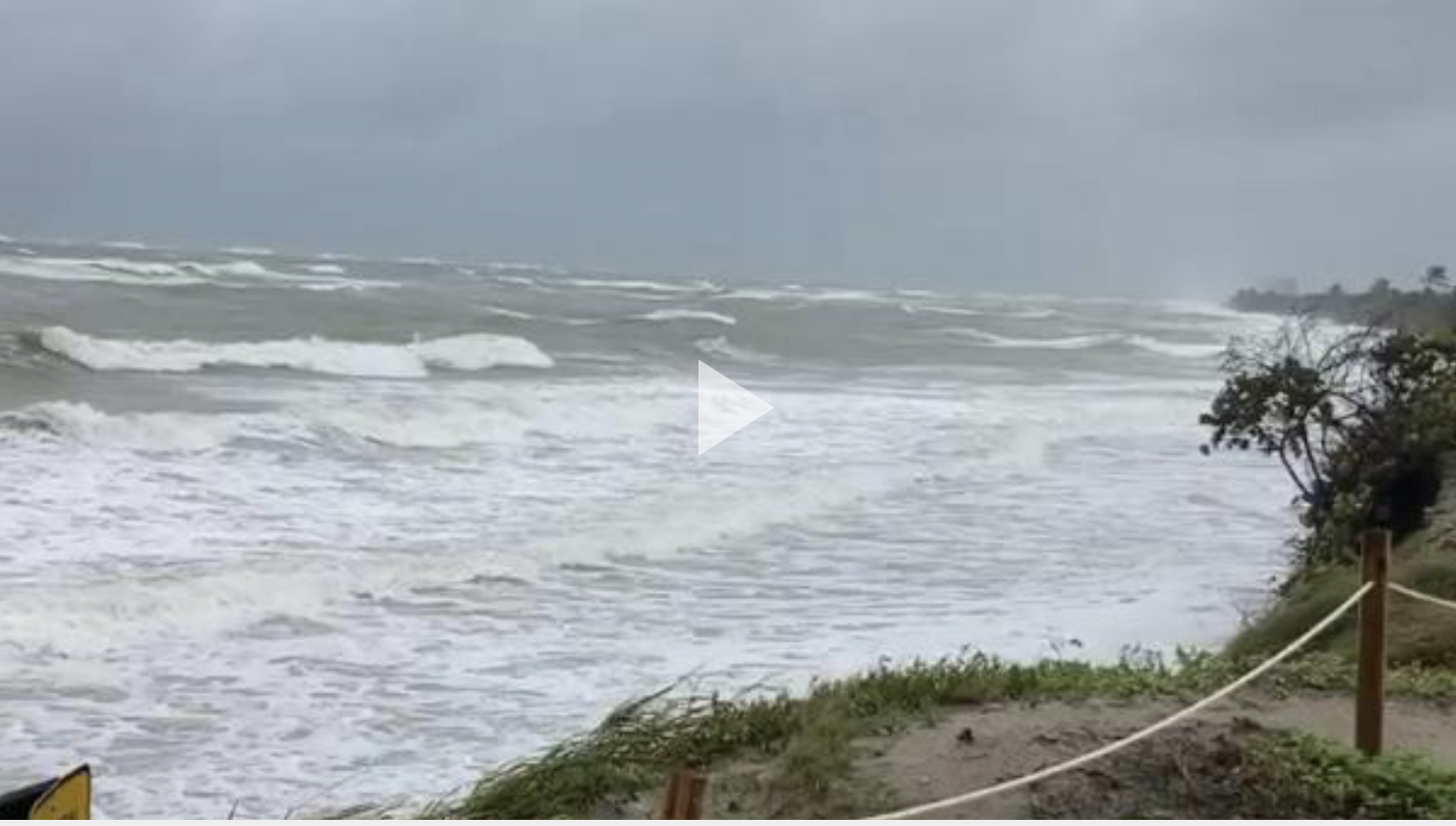
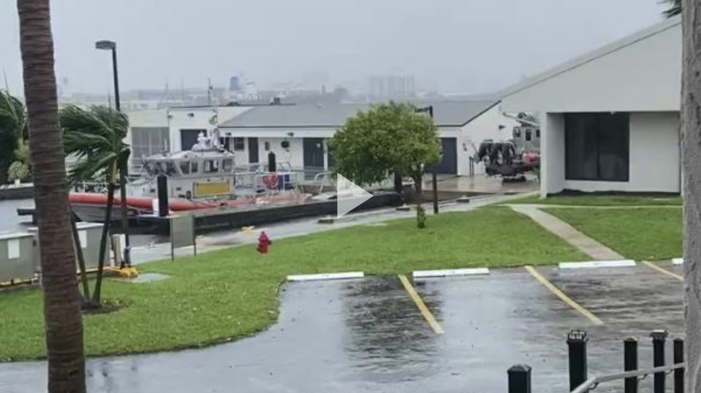
Coast Guard B-roll
 |
 |
Coast Guard Images
 |
 |
 |
Coast Guard Captain of the Port community safety messages
 |
 |
 |
Spanish translated Coast Guard Captain of the Port and community safety messages
 |
 |
Editor's Note: Click on images to download high-resolution versions.
MIAMI — Coast Guard District 7 crews are urging mariners offshore and near shore to prepare for Tropical Storm Eta anticipated to impact the sea state from South Carolina to the Florida Gulf coast Sunday into the week.
The ports of Miami and Key West are at port condition Zulu, and the ports of St. Petersburg are at port condition Yankee.
Coast Guard rescue crews across Florida, Georgia and South Carolina are preparing for the impact of Tropical Storm Eta. Personnel are making certain aircraft, small boats, cutters, and facilities are adequately maintained or secured so they are prepared to respond. Once the storm passes, and as soon as it is safe to operate, the Coast Guard, along with our local first responders and federal partners, will evaluate the need to provide life-saving support in stricken areas.
According to the National Hurricane Center, as Eta passes through, winds are expected to approximately sustain at least 60 knots and seas are expected to range from 15-25 feet.
"As we’ve seen from impacts to Honduras and Guatemala, Tropical Storm Eta is a weather system not to be underestimated, particularly as it approaches and interacts with both sides of the Florida peninsula," said Adm. Eric C. Jones, Coast Guard Seventh District commander. "We see three primary, yet different risk areas: onshore, near shore, and offshore. Because this system is so large and its forecast track uncertain, the wind, rain, and sea state will have both widespread and localized impacts; mariners at sea and citizens ashore should remain extra vigilant. Please keep an eye on your local weather, stay off the water, and know your Coast Guard remains ready."
In preparation for Tropical Storm Eta, the Coast Guard recommends:
Preparing for a hurricane on land:
- If you live or boat in an area prone to hurricanes or heavy weather, know your local and national weather sources and monitor them continuously.
- Remove small boats from the water and move them to safe locations that aren't likely to flood.
- Remove all EPIRBs, life rings, life jackets and loose items. Tie the boat securely to the trailer. Contact local marinas and ask for advice.
- If your boat is too large to be removed from the water, move it to a safe haven well before the storm approaches. You should know where safe havens are in the area where you boat. Use extra fenders—such as used tires—to protect your boat. Use additional mooring lines, secure all hatches, take down the mast, if possible, and remove all loose items from the vessel. Tie down everything, inside and out.
- Drawbridges along the coast may deviate from normal operating procedures prior to a storm. They are generally authorized to remain closed up to eight hours prior to the approach of gale-force winds of 34 knots or greater and whenever an evacuation is ordered. Due to the uncertainty of weather movements and related bridge closures, mariners should seek early passage through drawbridges well in advance of the arrival of gale-force winds.
- Boaters and coastal residents can get storm and hurricane information from VHF marine radios, commercial radio, television stations, newspapers or NOAA weather radios.
- Stay clear of beaches. Wave heights and currents typically increase before a storm makes landfall. Even the best swimmers can fall victim to the strong waves and rip currents caused by hurricanes. Swimmers should stay clear of beaches until local lifeguards and law enforcement officials say the water is safe.
- Be cautious of coastal flooding. Significant rain fall and tide ranges can impact low areas. Boat bilges can over flow and cause unnecessary water pollution to occur. Paddlecraft, canoes and kayaks should be labeled and pulled well above the water line in anticipation of flooding to avoid unnecessary search and rescue cases of people not in distress.
- Check the Coast Guard Homeport website for an updated status of local ports.
- Never forget storms move quickly, and they are unpredictable. You can always replace a boat; you cannot replace a life.
Preparing for a hurricane: Vessels in the storm
Near shore:
- Do not go out to sea in a recreational boat to “ride out” a hurricane. All mariners are advised to stay off the water.
- If you are unable to evade a storm, wear a life jacket and know how to activate your distress signaling devices. Rescue and assistance by the Coast Guard and other agencies, however, may be severely degraded or unavailable immediately before, during and after a devastating storm.
- If you are in a vessel and you see signs of bad weather, seek shelter. While en route to shelter, tie down loose objects on the boat and prepare passengers for possible rough water, heavy rains and high winds. Have all aboard put on life jackets, including pets. Do not let passengers below deck remove their life jackets.
- If you think the boat may sink or capsize, it may be best to keep passengers above deck and attached to safety lines.
- If you get into trouble, call for help immediately. Ideally, you should have an EPIRB on board in addition to a VHF marine radio. Keep in touch with the Coast Guard or anyone else you can reach so someone knows your location and assistance can be sent if needed and when possible.
- Carry life rafts on board large vessels. If the vessel sinks, board the life raft, stay with it and tether passengers together. Keep moving slowly to keep circulation and body temperature up and avoid overexertion.
Offshore, from the National Hurricane Center:
- 34 knot Rule: For vessels at sea, avoiding the 34 knot wind field of a hurricane is paramount. 34 knots is chosen as the critical value because as wind speed increases to this speed, sea state development approaches critical levels resulting in rapidly decreasing limits to ship maneuverability. It also deserves mention that the state of the sea outside of the radius of 34 knot winds can also be significant enough as to limit course and speed options available to the mariner and must also be considered when avoiding hurricanes.
- The 1-2-3 rule establishes a minimum recommended distance to maintain from a hurricane in the Atlantic. Larger buffer zones should be established in situations with higher forecast uncertainty, limited crew experience, decreased vessel handling, or other factors set by the vessel master. The rule does not account for sudden & rapid intensification of hurricanes that could result in an outward expansion of the 34 knot wind field. Also, the rule does not account for the typical expansion of the wind field as a system transitions from hurricane to extratropical gale/storm.
- Ship Versus Hurricane Track Analysis: In the dynamic state of moving ships & hurricanes, recurring comparison of hurricane forecast track versus planned ship movement is mandatory. The continual monitoring of the latest official National Hurricane Center forecasts compared to current or planned evasion options can greatly increase a mariner's confidence regarding vessel safety.
- Never plan to cross the track (cross the "T") of a hurricane. Done out of respect for the negative effects that heavy weather places on vessel speed/handling, sudden accelerations in hurricane motion can ultimately place a vessel in conditions not originally expected thereby resulting in disaster. Adjustments to course & speed in order to remain clear of the danger area in a hurricane are the most prudent navigation decisions a mariner can make in these instances.
People in distress should use 911 to request assistance whenever possible. Social media should not be used to report life-threatening distress due to limited resources to monitor the dozens of social media platforms during a hurricane or large-scale rescue event.
For more breaking news follow us on Twitter and Facebook.
-USCG-

